Bryce Canyon: 3 Days Among the Hoodoos, from Rim to Rainbow Point
Amphitheater hikes, a daybreak overlook, dark skies and the high southern drive
- Length
- 3 days
- Difficulty
- Moderate
- Best months
- May–Jun, Sep–Oct
- Budget
- $$
Three days built around Bryce Canyon's amphitheater rim, one big loop hike (Peekaboo), an easier warm-up (Queen's Garden), and a full day on the high southern drive to Rainbow Point. Meals and lodging sit next to each day's route, with a dark-sky evening. The $$ budget tier is our estimate; only campground fees are priced.
- Queen's Garden Trail: the easiest way below the rim (1.8 mi round trip, 450 ft gain, NPS)
- Daybreak at Bryce Point, then the 5.5-mile Peekaboo Loop (1,560 ft gain, NPS)
- Dark-sky stargazing at Paria View
- Southern Scenic Drive to Rainbow Point (over 9,000 ft) and the Bristlecone Loop
- Northern-edge stops: Mossy Cave Trail and Fairyland Point
The story
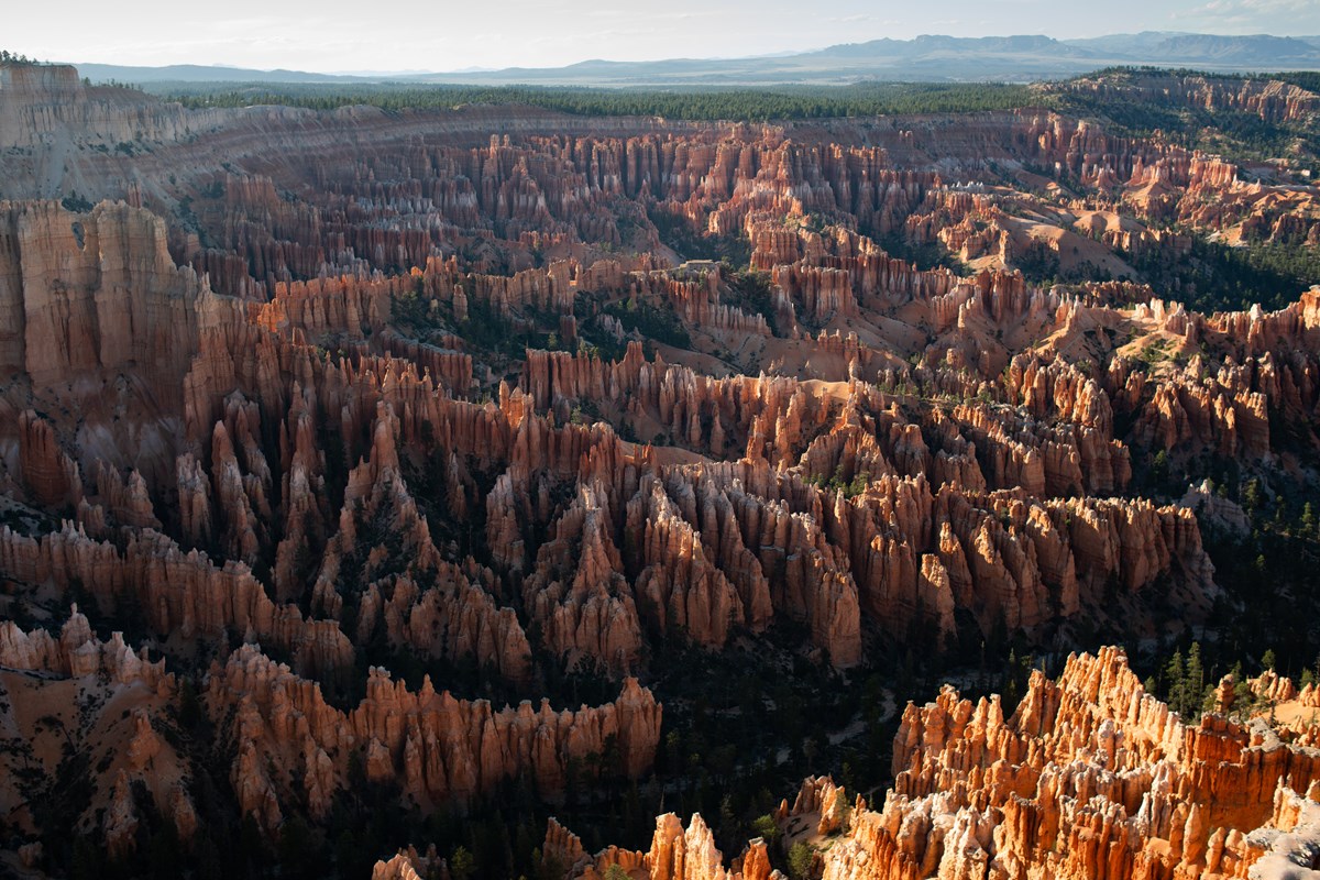
Bryce Canyon is less a canyon than a series of natural amphitheaters full of hoodoos, the eroded limestone spires it is famous for, and you can see them two ways: from the rim, where hoodoos glow in changing light, and from inside the amphitheater, where you walk among them. This three-day plan uses both, and it gives the high country at the south end of the park a proper day instead of a rushed detour.
Day 1 is about getting your bearings and getting below the rim. You start at the Visitor Center (elevation about 7,900 feet, per NPS) and then walk down the Queen's Garden Trail, which NPS calls the least difficult of the trails into the amphitheater. After a paved rim stroll and lunch at the Lodge, you walk the northern Mossy Cave Trail, a short creekside walk off Highway 12, before returning for sunset at the rim and dinner at the Lodge.
Day 2 is the big one. Be at Bryce Point for daybreak (NPS calls it perhaps the most iconic viewpoint), then descend for the Peekaboo Loop: 5.5 miles and roughly 1,560 feet of climbing according to NPS. Recover with a grab-and-go lunch, gaze into the amphitheater from Inspiration Point, and finish at the quieter Fairyland Point. Dinner is in Bryce Canyon City, followed by stargazing; NPS says Bryce is an International Dark Sky Park with some of the darkest skies in the U.S.
Day 3 is the Southern Scenic Drive. The road climbs from about 7,900 feet at the Visitor Center to over 9,000 at Rainbow and Yovimpa Points, with overlooks at Natural Bridge, Agua Canyon and Ponderosa Canyon on the way. At the top, the 1-mile Bristlecone Loop wanders among pines that NPS says can reach 1,800 years old. Because everything is paved and short, this day suits legs that are tired from Peekaboo.
The plan keeps the timing flexible, since sunrise, sunset, and lodge hours all shift with the season. Read the dated conditions block in the tips before you go, and expect to adjust.
Trail stats and viewpoint descriptions come from the NPS Data API and NPS.gov pages.
Day by day
Get oriented and walk below the rim
Start at the Visitor Center, then drop into the amphitheater on the Queen's Garden Trail. After lunch at the Lodge, spend the afternoon on the quiet northern Mossy Cave Trail, then return to the rim for sunset.
Bryce Canyon Visitor Center: orientation and park film
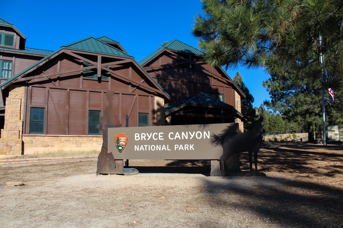
Start by getting oriented: the Visitor Center has park exhibits, the bookstore, the passport stamp and a 24-30 minute park film (NPS). Ask a ranger which ranger programs are running while you are here, then check the conditions board before hiking below the rim.
- Time
- About 45-60 minutes including the film
- Reservation needed
- No
Sources (2)
- NPS Data API: See the Park Film / Passport Stamp · retrieved 2026-09-29
- NPS Data API: visitorcenters (brca) · retrieved 2026-09-29
Queen's Garden Trail to Queen Victoria
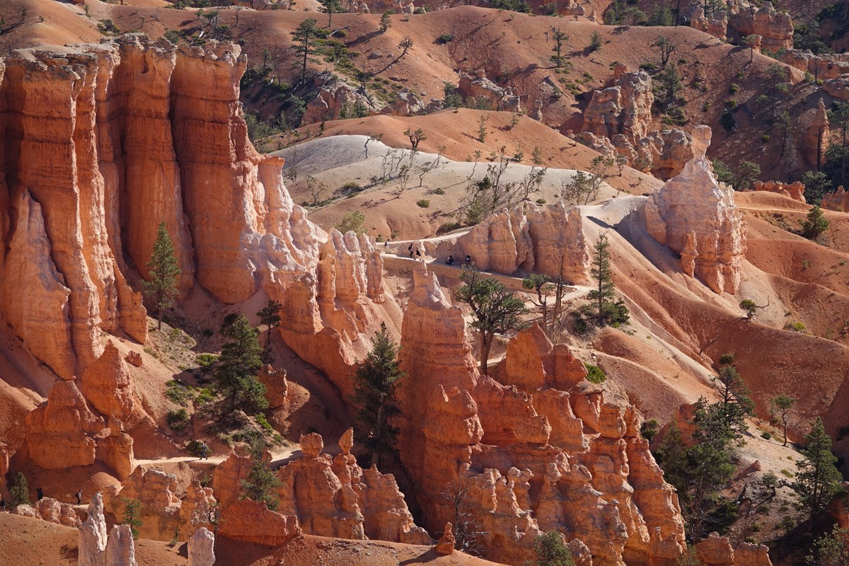
Descend from Sunrise Point through fins and hoodoos to a short spur ending at the Queen Victoria hoodoo. NPS calls it the least difficult of the trails that drop into the amphitheater, so it is the right first taste of walking among the spires. Distance and gain below are the NPS round-trip figures for the out-and-back; remember the climb back to the rim happens at about 8,000 feet.
- Distance
- 1.8 mi
- Elevation gain
- 450 ft
- Route
- Out and back
- Difficulty
- Moderate
- Permit required
- No
- Dogs allowed
- No
- Trailhead
- Sunrise Point
- Distance gain basis
- Distance 1.8 mi and gain 450 ft are both NPS round-trip figures.
Sources (2)
- NPS Data API: thingstodo (brca) · retrieved 2026-09-29
- NPS: Queen's Garden Trail (Sunrise Point) · retrieved 2026-09-29
Rim Trail stroll from Sunrise Point to Sunset Point
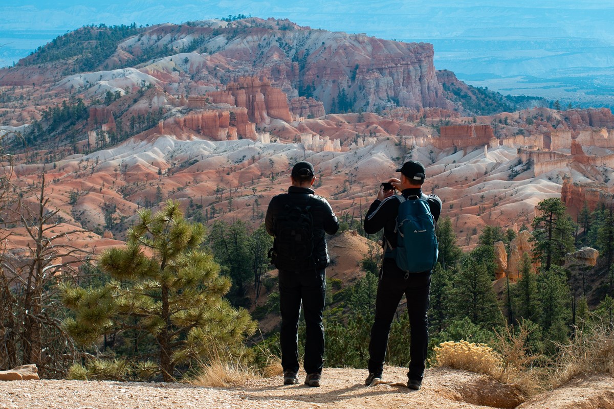
Follow the paved Rim Trail between the two classic viewpoints: NPS lists this section as half a mile one way, the only paved stretch, and the easiest way to see hoodoos from above. It doubles as a quick walk to lunch, because the Lodge is a short walk from Sunset Point.
- Time
- Half a mile one way per NPS; 40 ft elevation gain listed for the 1.0 mi round trip
- Best time
- Any time; light changes constantly
Sources (1)
- NPS: Sunset Point to Sunrise Point Hike · retrieved 2026-09-29
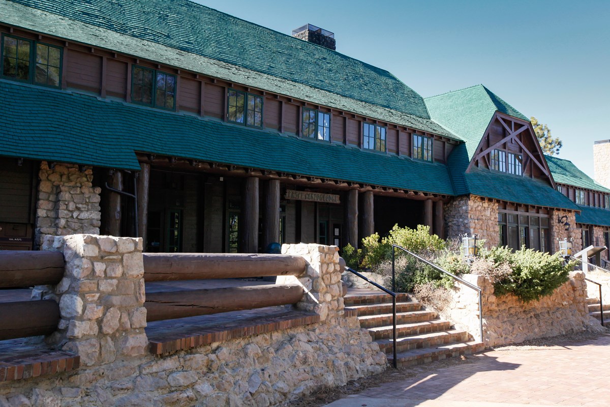
Lunch at the Lodge dining room
A historic dining room a short walk from Sunset Point, serving breakfast, lunch and dinner in season. Lunch service typically runs into the early afternoon, so come straight from the rim walk.
- Meal
- Lunch
- Cuisine
- American
- Reservation needed
- No
- Reservation notes
- Concessioner site: reservations not required, first-come first-served.
Sources (2)
- NPS: Restaurants · retrieved 2026-09-29
- The Lodge at Bryce Canyon Restaurant (official) · retrieved 2026-09-29
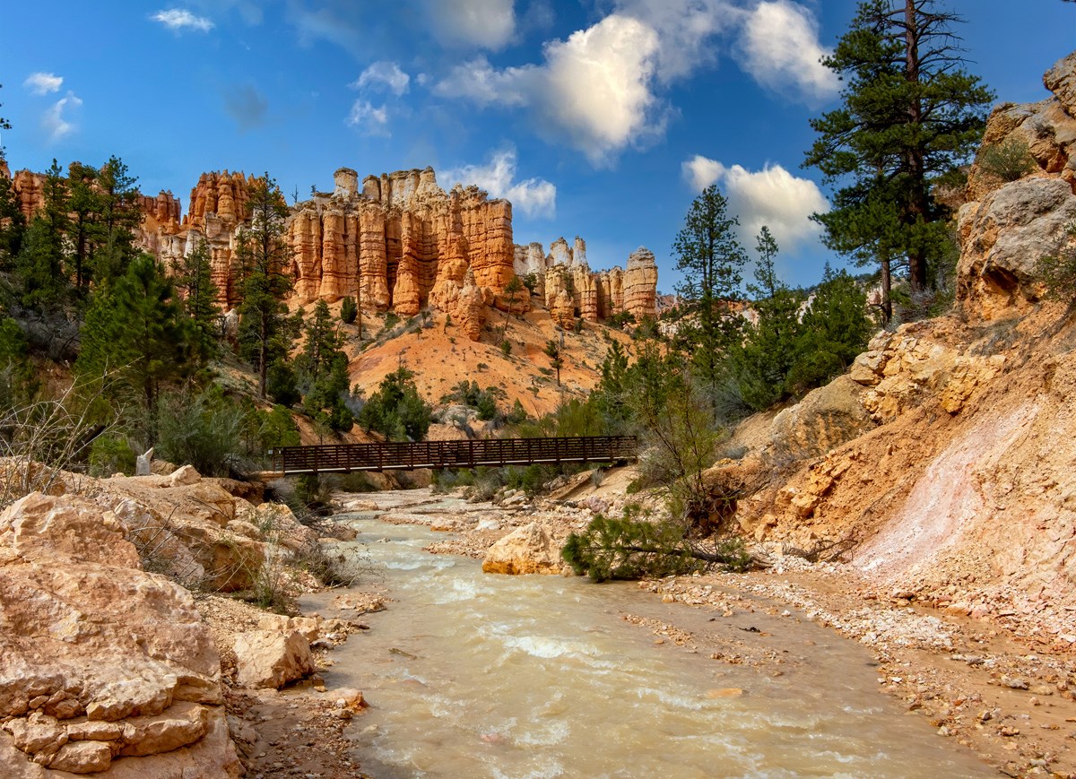
Mossy Cave Trail
A short walk on the park's northern edge along a small creek to a waterfall and the mossy alcove that gives the trail its name. NPS notes it is one of the lowest-elevation and northernmost hikes in the park, reached from Highway 12 rather than the main park road, and unusual in that it climbs first and descends after. It is a fee area like the rest of the park; keep your pass with your vehicle.
- Distance
- 0.8 mi
- Elevation gain
- 150 ft
- Difficulty
- Easy
- Permit required
- No
- Dogs allowed
- No
- Trailhead
- Mossy Cave trailhead (Highway 12)
- Distance gain basis
- NPS lists 0.8 mi and 150 ft gain; NPS does not state whether that is one-way or round trip.
Sources (2)
- NPS Data API: thingstodo (brca) · retrieved 2026-09-29
- NPS: Mossy Cave Trail · retrieved 2026-09-29
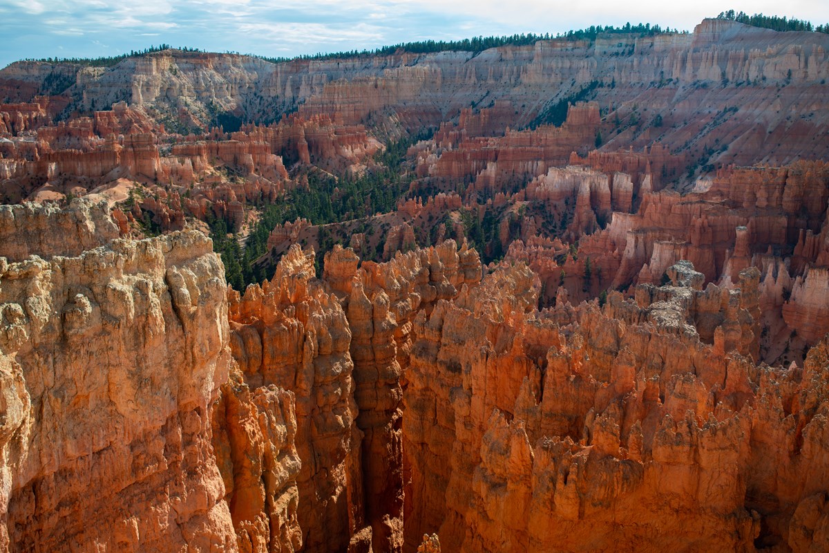
Sunset at Sunset Point
NPS describes Sunset Point as showing some of the most famous hoodoos in the park, and Sunrise Point as equally spectacular at day's end. Pick either and give yourself time to linger as the light changes; the Lodge is a short walk away for dinner.
- Time
- Short walk from the parking area
- Best time
- About an hour before sunset
- Reservation needed
- No
Sources (2)
- NPS Data API: places (brca) · retrieved 2026-09-29
- NPS: Bryce Canyon viewpoints · retrieved 2026-09-29
Dinner at the Lodge dining room
Dinner service typically starts at 5 p.m. and, per the concessioner, is first-come first-served, so plan around sunset light and a stroll back from the rim.
- Meal
- Dinner
- Cuisine
- American
- Reservation needed
- No
- Reservation notes
- Concessioner site: reservations not required, first-come first-served.
Sources (2)
- NPS: Restaurants · retrieved 2026-09-29
- The Lodge at Bryce Canyon Restaurant (official) · retrieved 2026-09-29
The Lodge at Bryce Canyon (in-park base)
The park's only in-park hotel is a historic lodge with lodge suites, motel-style rooms and cabins, a short walk from the amphitheater. NPS counts 114 rooms across the property and strongly recommends reserving ahead. Staying here turns the sunrise and stargazing plans in this trip into a walk instead of a drive, and the dining room and shuttle stop sit beside the building.
- Type
- Lodge
- Location
- Inside the park
- Booking
- Book / details
- Reservation notes
- Reservations are highly recommended (NPS). Rates were not verified for this draft; check the booking site.
Sources (3)
- NPS: Lodging in Bryce Canyon · retrieved 2026-09-29
- NPS: Bryce Canyon Lodge · retrieved 2026-09-29
- Official lodge concessioner site · retrieved 2026-09-29
Daybreak and the Peekaboo Loop
Watch the amphitheater wake up at Bryce Point, then take on the Peekaboo Loop, the trip's big hike. Afternoon is for lower-effort overlooks, and the night is for stars.
Daybreak at Bryce Point
NPS calls Bryce Point perhaps the most iconic viewpoint in the park. Arrive before the sun clears the horizon (check the sunrise time for your date) so you can watch the light move down the amphitheater, then walk to the trailhead for Peekaboo Loop.
- Time
- Short walk from the parking area
- Best time
- Daybreak
- Reservation needed
- No
Sources (2)
- NPS Data API: places (brca) · retrieved 2026-09-29
- NPS: Bryce Canyon viewpoints · retrieved 2026-09-29
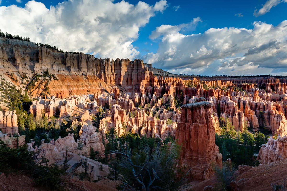
Peekaboo Loop from Bryce Point
The longest and most rewarding hoodoo hike in this plan: a 670-foot descent from Bryce Point into a loop through hoodoos, then the climb back up. NPS recommends walking it clockwise and notes horses and mules use the trail in summer, so give them right of way. This is a strenuous half-day; start early and carry more water than you think you need.
- Distance
- 5.5 mi
- Elevation gain
- 1,560 ft
- Route
- Loop
- Difficulty
- Strenuous
- Permit required
- No
- Dogs allowed
- No
- Trailhead
- Bryce Point
- Distance gain basis
- Distance 5.5 mi loop and 1,560 ft gain per NPS (same basis: full loop from Bryce Point).
Sources (2)
- NPS Data API: thingstodo (brca) · retrieved 2026-09-29
- NPS: Peekaboo Loop (Bryce Point trailhead) · retrieved 2026-09-29
Grab-and-go lunch at the General Store
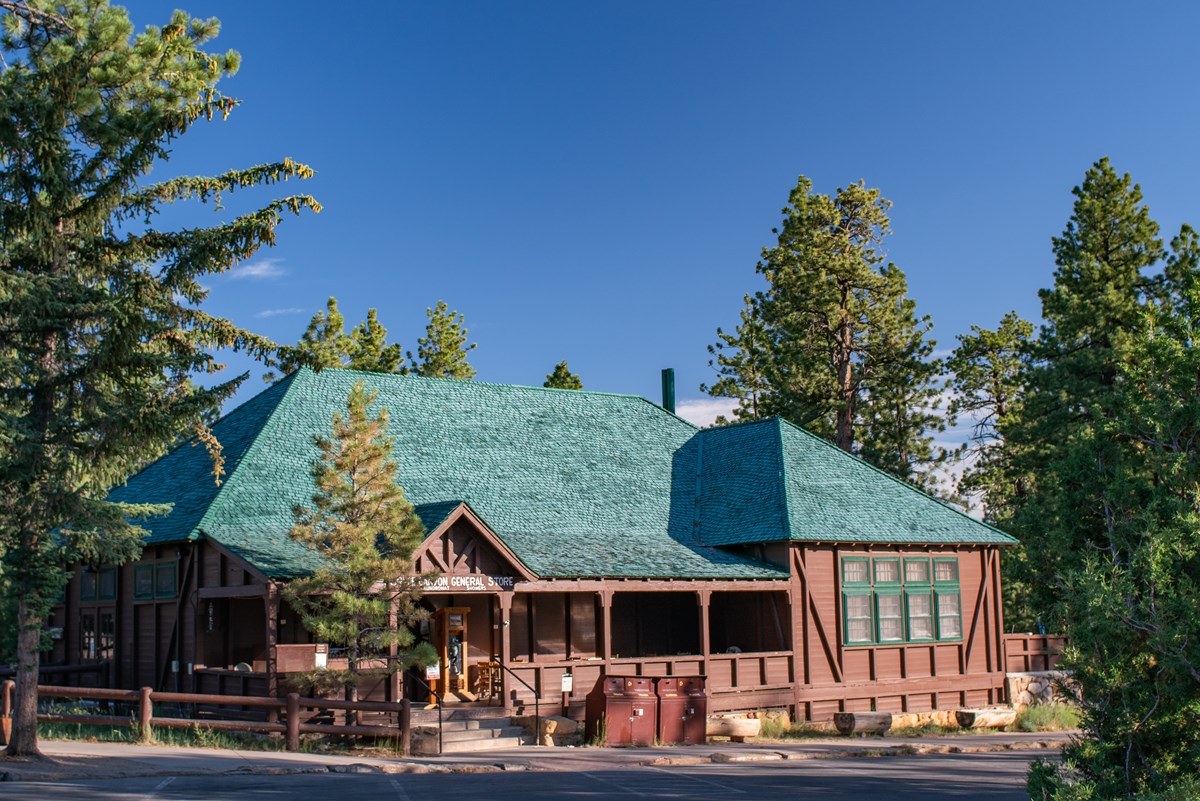
The General Store near Sunrise Point and North Campground sells pizza, soup, sandwiches, ice cream and drinks, plus camping supplies. It is an easy no-fuss refuel between a big hike and the afternoon viewpoints, and a place to fill water bottles and buy a picnic for Day 3.
- Meal
- Lunch
- Cuisine
- Grab-and-go (pizza, soup, sandwiches)
- Reservation needed
- No
Sources (2)
- NPS Data API: places (brca) · retrieved 2026-09-29
- NPS place record: Bryce Canyon General Store · retrieved 2026-09-29
Inspiration Point
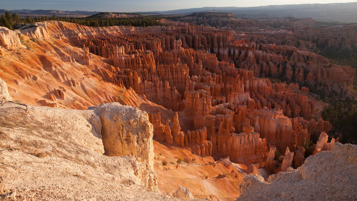
Three tiered overlooks give a bird's-eye view into the amphitheater, a good low-effort way to see your morning hike from above.
- Time
- Short walk from the parking area
- Reservation needed
- No
Sources (2)
- NPS Data API: places (brca) · retrieved 2026-09-29
- NPS: Bryce Canyon viewpoints · retrieved 2026-09-29
Fairyland Point
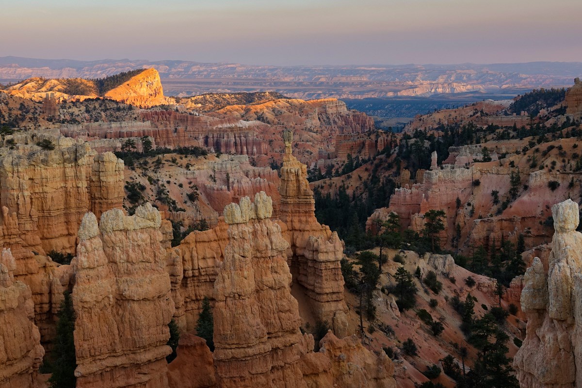
An overlook on the park's northern edge that looks over Fairyland Canyon. The shuttle does not serve it, so plan to drive; it also starts the Fairyland Loop.
- Time
- Short walk from the parking area
- Reservation needed
- No
Sources (2)
- NPS Data API: places (brca) · retrieved 2026-09-29
- NPS: Bryce Canyon viewpoints · retrieved 2026-09-29
Dinner at Cowboy's Buffet & Steak Room, Ruby's Inn
A full-service, no-reservations-needed option in Bryce Canyon City, on the same property as Ruby's Inn. The property's own site describes breakfast, lunch and dinner service and a Utah state liquor license. It is a practical dinner stop on the way to a night of stargazing.
- Meal
- Dinner
- Cuisine
- American / steakhouse and buffet
- Reservation needed
- No
Sources (1)
- Ruby's Inn restaurants (official) · retrieved 2026-09-29
Stargazing at Paria View
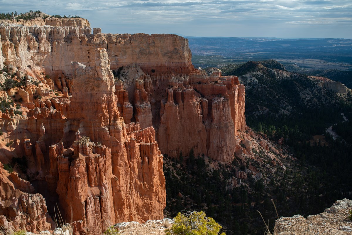
NPS describes Bryce Canyon as an International Dark Sky Park with some of the darkest skies in the country. Paria View, a quieter overlook on the amphitheater's south side, is the NPS record location for the stargazing activity. Bring a red-light headlamp and warm layers; nights fall below freezing in fall. Check the calendar or Visitor Center for ranger night-sky programs.
- Time
- 1-2 hours after dark
- Best time
- After nautical twilight, ideally near new moon
- Reservation needed
- No
Sources (2)
- NPS: weather · retrieved 2026-09-29
- NPS: Stargazing at Bryce Canyon · retrieved 2026-09-29
Up to Rainbow Point
A paved-viewpoint day that suits tired legs: the Southern Scenic Drive climbs above 9,000 feet, stopping at Natural Bridge and Rainbow Point before an easy loop among old bristlecone pines.
Breakfast at the Lodge dining room
Breakfast typically runs 7-10 a.m. Eat early: the Southern Scenic Drive is a long morning.
- Meal
- Breakfast
- Cuisine
- American
- Reservation needed
- No
- Reservation notes
- Concessioner site: reservations not required, first-come first-served.
Sources (2)
- NPS: Restaurants · retrieved 2026-09-29
- The Lodge at Bryce Canyon Restaurant (official) · retrieved 2026-09-29
Southern Scenic Drive: Farview, Natural Bridge, Agua Canyon and Ponderosa Canyon to Rainbow Point
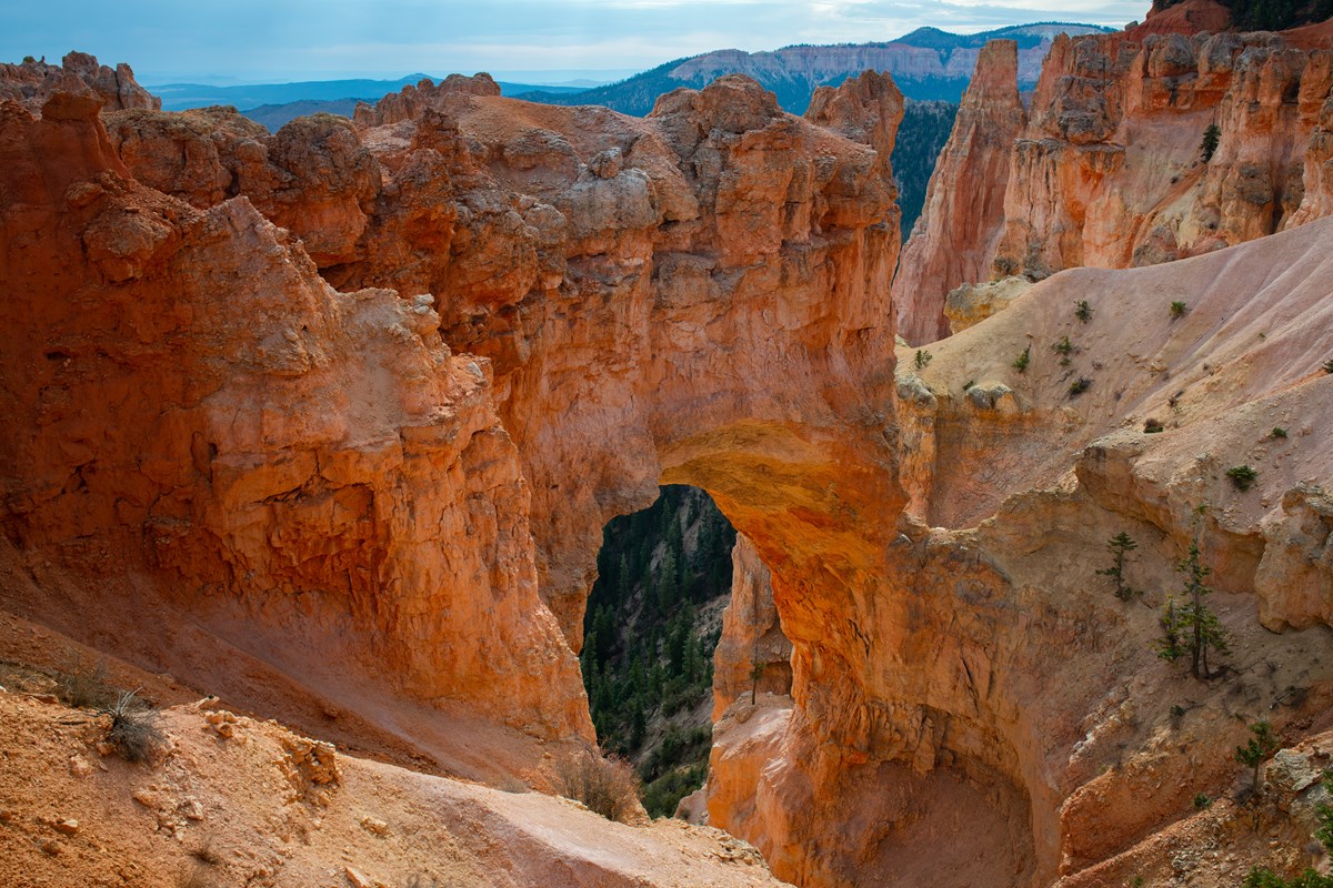
Drive the 15 miles beyond the amphitheater, gaining elevation from about 7,900 feet at the Visitor Center to over 9,000 at the road's end. NPS says it takes about 40 minutes to reach the end from the Visitor Center and 2-3 hours with viewpoint stops, and that the overlooks are paved and flat. Farview Point looks toward far-off plateaus, Natural Bridge is an orange arch in the limestone, Agua Canyon frames the hoodoos the NPS caption calls the Hunter and the Rabbit, and Ponderosa Canyon shows how much forest fills the drainages. The map pin is the NPS Agua Canyon overlook record, one point along the drive. Plan the outbound leg with stops at these overlooks, then continue to Rainbow Point and turn around.
- Time
- About 40 min one way without stops; NPS suggests 2-3 hours with stops
- Best time
- Morning, ahead of afternoon weather
- Reservation needed
- No
Sources (2)
- NPS: Drive the Southern Scenic Drive · retrieved 2026-09-29
- NPS: viewpoints · retrieved 2026-09-29
Natural Bridge overlook
A stop on the way south: a glowing orange arch spanning a limestone slope (coordinates are the NPS Natural Bridge wayside at the overlook). NPS explains the arch was formed by ice expanding in cracks.
- Time
- Short walk from the parking area
- Reservation needed
- No
Sources (2)
- NPS Data API: places (brca) · retrieved 2026-09-29
- NPS: Bryce Canyon viewpoints · retrieved 2026-09-29
Rainbow Point
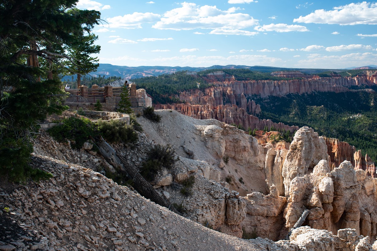
At over 9,100 feet, Rainbow and Yovimpa Points are the highest-elevation viewpoints, per NPS. Rainbow Point looks north across the hoodoo country you have been hiking; Yovimpa Point looks south. Do both before the Bristlecone Loop.
- Time
- Short walk from the parking area
- Best time
- Late morning
- Reservation needed
- No
Sources (2)
- NPS Data API: places (brca) · retrieved 2026-09-29
- NPS: Bryce Canyon viewpoints · retrieved 2026-09-29
Bristlecone Loop Trail
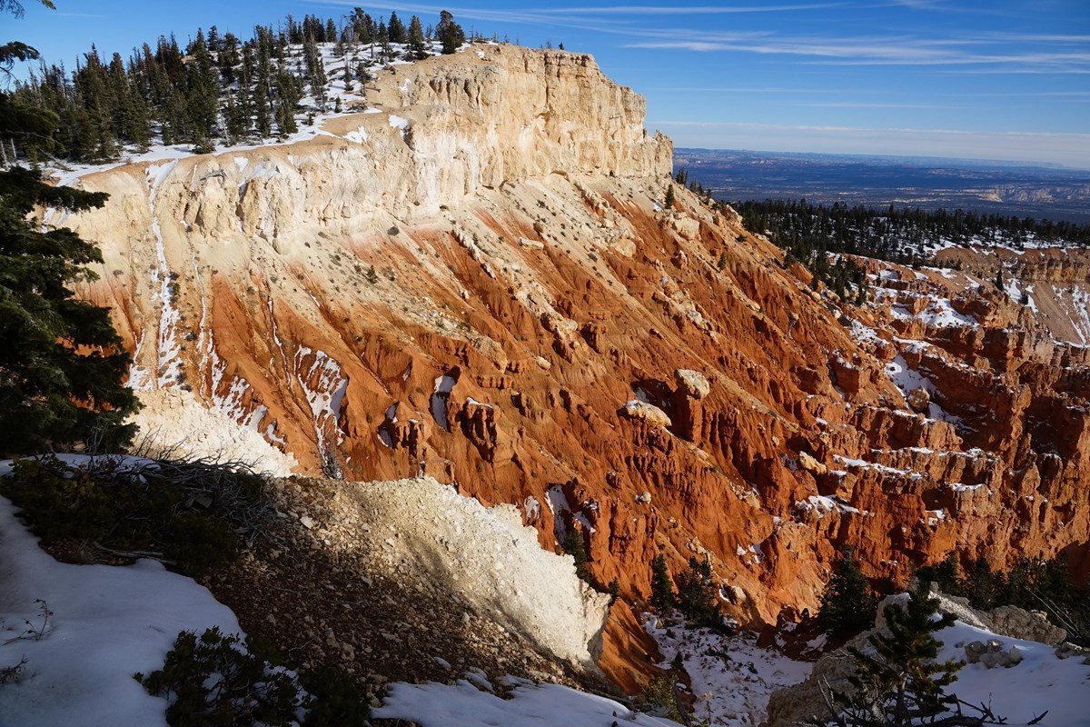
A gentle loop atop the park's high plateau, passing bristlecone pines that NPS says can be 1,800 years old, and tying together the Rainbow Point and Yovimpa Point trailheads. At over 9,100 feet, you will feel the altitude more than the gradient.
- Distance
- 1 mi
- Elevation gain
- 200 ft
- Route
- Loop
- Difficulty
- Easy
- Permit required
- No
- Dogs allowed
- No
- Trailhead
- Rainbow Point or Yovimpa Point
- Distance gain basis
- NPS: 1.0 mi loop, 200 ft gain (same basis).
Sources (2)
- NPS Data API: thingstodo (brca) · retrieved 2026-09-29
- NPS: Bristlecone Loop Trail (Rainbow Point) · retrieved 2026-09-29
Where to stay
Best Western Plus Ruby's Inn (Bryce Canyon City)
The gateway-town option just outside the park entrance road. The official site lists hotel rooms with hot breakfast included for hotel guests, an indoor pool and hot tub, a general store, three restaurants and an RV park and campground, and calls it the closest lodging to the park. The NPS shuttle has stops at Ruby's Inn in season.
- Type
- Hotel
- Location
- Outside the park
- Booking
- Book / details
- Reservation notes
- Rates are quoted in the property's booking engine; not verified for this draft.
Sources (2)
- NPS Data API: shuttle stops at Ruby's Inn (place records) · retrieved 2026-09-29
- Ruby's Inn official site · retrieved 2026-09-29
North Campground
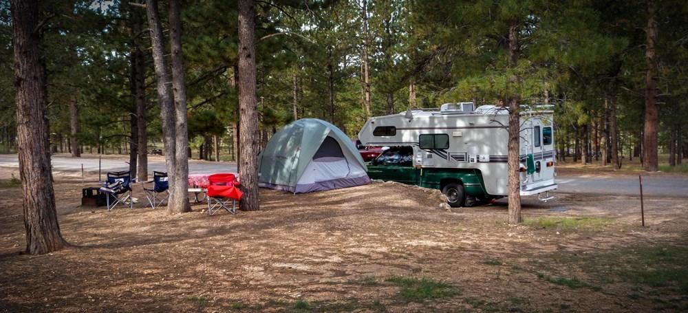
Across the road from the Visitor Center, with 100 sites in four loops (A and B for RVs, C and D for tents). There are no hookups. Tent loops can close in freezing weather, and NPS notes only some loops stay open late in the year, which is worth remembering for autumn trips at 8,000 feet.
- Type
- Campground
- Location
- Inside the park
- Price per night
- From $30 (as of 2026-09-29)
- Booking
- Book / details
- Reservation notes
- NPS lists $30 per night per site; season dates and reservation details are on the NPS campground page.
Sources (2)
- NPS Data API: campgrounds (brca) · retrieved 2026-09-29
- NPS: North Campground · retrieved 2026-09-29
Sunset Campground
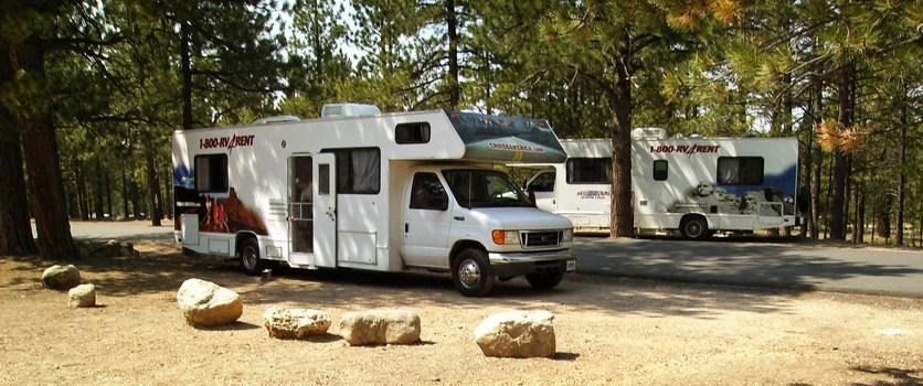
A quieter, seasonal campground about 1.5 miles south of the Visitor Center: 99 sites in three loops (A mainly for RVs, B and C tent-only), no hookups. It is closed in winter and typically open April through October, weather permitting.
- Type
- Campground
- Location
- Inside the park
- Price per night
- From $30 (as of 2026-09-29)
- Booking
- Book / details
- Reservation notes
- NPS lists $30 per night per site; season dates and reservation details are on the NPS campground page.
Sources (2)
- NPS Data API: campgrounds (brca) · retrieved 2026-09-29
- NPS: Sunset Campground · retrieved 2026-09-29
Map of places
- Bryce Canyon Visitor Center (opens Google Maps in a new tab) Day 1
- Queen's Garden Trail (Sunrise Point) (opens Google Maps in a new tab) Day 1
- Rim Trail Sunrise Point Trailhead (opens Google Maps in a new tab) Day 1
- The Lodge at Bryce Canyon Restaurant (opens Google Maps in a new tab) Day 1
- Mossy Cave Trail (opens Google Maps in a new tab) Day 1
- Sunset Point (opens Google Maps in a new tab) Day 1
- The Lodge at Bryce Canyon Restaurant (opens Google Maps in a new tab) Day 1
- The Lodge at Bryce Canyon (opens Google Maps in a new tab) Day 1
- Bryce Point (opens Google Maps in a new tab) Day 2
- Peekaboo Loop (Bryce Point trailhead) (opens Google Maps in a new tab) Day 2
- Bryce Canyon General Store (opens Google Maps in a new tab) Day 2
- Inspiration Point (opens Google Maps in a new tab) Day 2
- Fairyland Point (opens Google Maps in a new tab) Day 2
- Cowboy's Buffet & Steak Room (Ruby's Inn) (opens Google Maps in a new tab) Day 2
- Paria View (opens Google Maps in a new tab) Day 2
- The Lodge at Bryce Canyon Restaurant (opens Google Maps in a new tab) Day 3
- Southern Scenic Drive (Highway 63, mile 3 to Rainbow Point) (opens Google Maps in a new tab) Day 3
- Natural Bridge (opens Google Maps in a new tab) Day 3
- Rainbow Point (opens Google Maps in a new tab) Day 3
- Bristlecone Loop Trail (Rainbow Point) (opens Google Maps in a new tab) Day 3
- Best Western Plus Ruby's Inn (opens Google Maps in a new tab) Option
- North Campground (opens Google Maps in a new tab) Option
- Sunset Campground (opens Google Maps in a new tab) Option
Good to know
Current conditions (as of 2026-09-29)
- Trail closure: NPS alert (indexed 2026-09-24): Wall Street (the Navajo Loop's Wall Street side) is closed until further notice after a recent weather event. This itinerary does not use it. Check the NPS alerts page before you go.
- Fire restrictions: Fires are allowed only in established fire pits (NPS alert, 2026-08-31).
- Shuttle: NPS lists the 2026 shuttle season as April 3 to October 18; September 21 to October 18 hours are 8:00 a.m. to 6:00 p.m. It is free with park admission and optional. After the season ends, drive to the viewpoints.
- Entrance fees (NPS, as of 2026-09-29): $35 per private vehicle, $30 motorcycle, $20 per person on foot or bike; non-U.S. residents 16 and older pay an extra $100 unless using an annual or America the Beautiful pass.
- Dining hours: The Lodge restaurant's hours change on October 16 (lunch ends 2:00 p.m. and dinner 9:00 p.m. through November 30, per the concessioner site).
- Campgrounds: $30 per site per night per NPS as of 2026-09-29. Sunset Campground is closed in winter; North Campground is open year-round, but only some loops stay open in colder months.
Want live alerts and up-to-date info?
Conditions change fast. Create an account on the DriftKin app to get live park alerts, closures and information for your trip.
Practical tips
- Elevation: The Visitor Center sits at about 7,894 feet, and the Southern Scenic Drive climbs above 9,000 feet at its end; drink water and take the climb back up slowly.
- Weather: NPS says summer brings afternoon thunderstorms (peaking July and August) and to go indoors when thunder roars. Fall has many sunny days, but nights consistently fall below freezing and October snowstorms are possible.
- Crowds and parking: NPS calls the shuttle highly recommended because of traffic and limited parking at viewpoints. Early morning at Bryce Point or Sunrise Point is calmer.
- Pets: Pets are not allowed on the hiking trails below the rim in this itinerary; they may be on paved surfaces only.
- Where to stay: The Lodge is the only in-park hotel (reservations strongly recommended); Ruby's Inn and the park's two campgrounds are alternatives.
- Permits: None required for the day hikes in this plan; verify with NPS.
- Getting there: The park is in southern Utah on Highway 63; see the NPS site for directions and road conditions.
- Bonus hikes if you have more time: Fairyland Loop (8.0 mi, 1,900 ft gain per NPS), Tower Bridge (3.0 mi round trip, 760 ft), Swamp Canyon Loop (4.0 mi, 800 ft).
Sources
- NPS Data API: thingstodo (brca) retrieved 2026-09-29
- NPS Data API: visitorcenters (brca) retrieved 2026-09-29
- NPS: Queen's Garden Trail (Sunrise Point) retrieved 2026-09-29
- NPS: Sunset Point to Sunrise Point Hike retrieved 2026-09-29
- NPS: Restaurants retrieved 2026-09-29
- The Lodge at Bryce Canyon Restaurant (official) retrieved 2026-09-29
- NPS: Mossy Cave Trail retrieved 2026-09-29
- NPS Data API: places (brca) retrieved 2026-09-29
- NPS: Bryce Canyon viewpoints retrieved 2026-09-29
- NPS: Lodging in Bryce Canyon retrieved 2026-09-29
- NPS: Bryce Canyon Lodge retrieved 2026-09-29
- Official lodge concessioner site retrieved 2026-09-29
- NPS: Peekaboo Loop (Bryce Point trailhead) retrieved 2026-09-29
- NPS place record: Bryce Canyon General Store retrieved 2026-09-29
- Ruby's Inn restaurants (official) retrieved 2026-09-29
- NPS: weather retrieved 2026-09-29
- NPS: Stargazing at Bryce Canyon retrieved 2026-09-29
- NPS: Drive the Southern Scenic Drive retrieved 2026-09-29
- NPS: Bristlecone Loop Trail (Rainbow Point) retrieved 2026-09-29
- NPS Data API: shuttle stops at Ruby's Inn (place records) retrieved 2026-09-29
- Ruby's Inn official site retrieved 2026-09-29
- NPS Data API: campgrounds (brca) retrieved 2026-09-29
- NPS: North Campground retrieved 2026-09-29
- NPS: Sunset Campground retrieved 2026-09-29
Hours, fees, prices and closures change. Confirm details with the park or business before you go.