Great Smoky Mountains: 4 Days of Waterfalls, Ridgelines and Cades Cove
Alum Cave, Kuwohi, Grotto Falls and a sunrise loop through Cades Cove
- Length
- 4 days
- Difficulty
- Moderate
- Best months
- Apr–May, Sep–Oct
- Budget
- $$
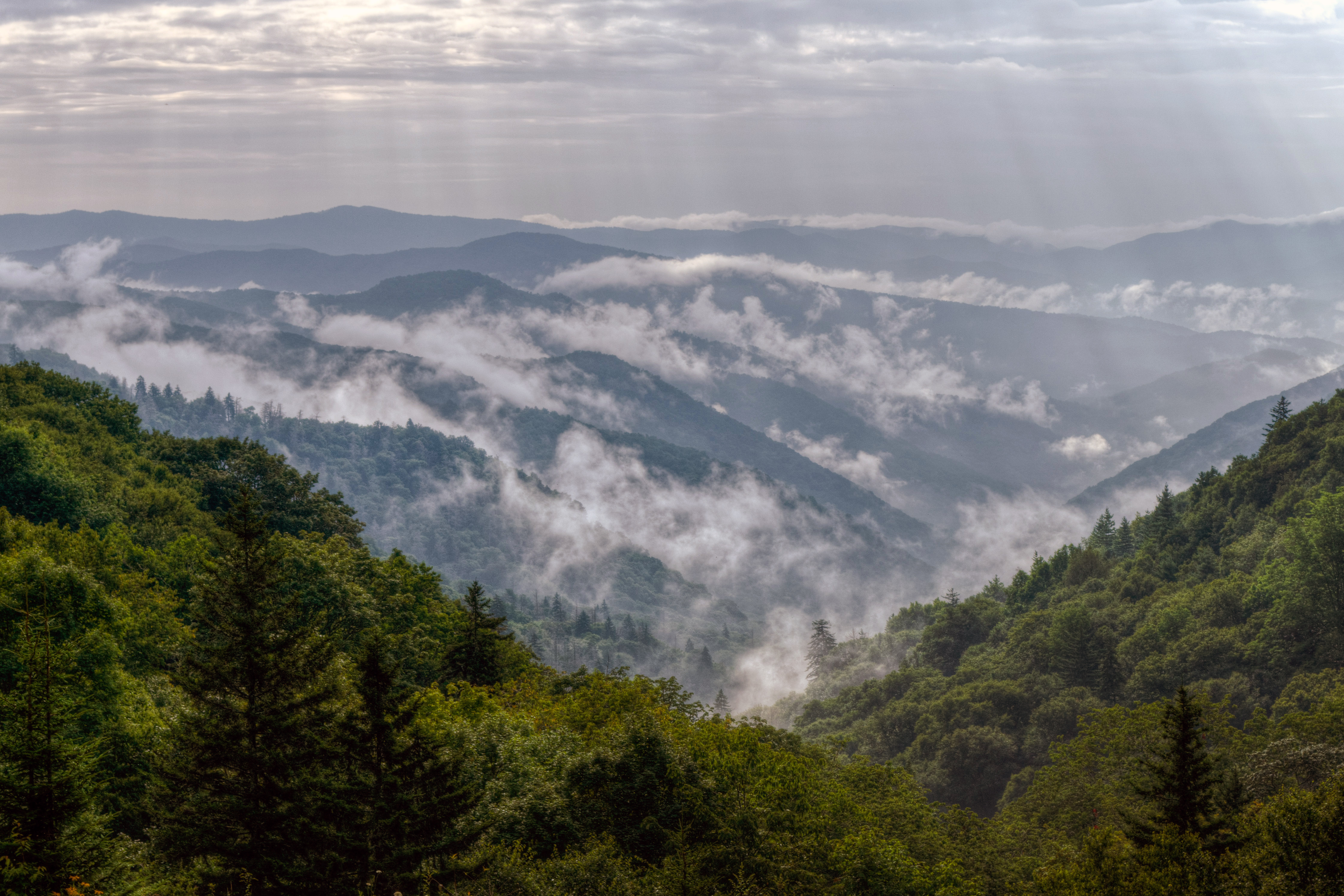
Four days around Gatlinburg covering the park's greatest hits: Alum Cave Bluffs, the Kuwohi tower, Rainbow and Grotto Falls, Cades Cove at sunrise, and an elk-and-waterfall day on the North Carolina side. Built to minimize backtracking and beat trailhead crowds.
- Alum Cave Bluffs: 80-foot cliff overhang reached via Arch Rock
- Kuwohi tower at 6,643 feet, the park's highest point
- Walk behind Grotto Falls and see the Rainbow Falls mist
- Cades Cove sunrise loop for deer and other wildlife
- Elk near Oconaluftee and the Deep Creek waterfall loop
The story
The Smokies do not shout. They roll. Ridge after ridge folds into the distance, softened by a morning haze that gives the range its name, and the best days here are the ones that let you settle into that rhythm: a steep climb to a cliff-hung overhang, a slow crawl around a valley at sunrise, a creek walk that ends behind a waterfall.
This four-day plan is built around that idea. It is a driver's itinerary with a hiker's soul, organized so each day stays in one corner of the park and you never burn hours backtracking. Day 1 is the high country, with Alum Cave Bluffs, the Newfound Gap crossing and the tower at Kuwohi, formerly known as Clingmans Dome, the park's highest point at 6,643 feet. Day 2 belongs to waterfalls, pairing the long climb to Rainbow Falls with the easy stroll behind Grotto Falls along the one-way Roaring Fork loop. Day 3 heads west for Cades Cove, where historic cabins, churches and a working gristmill ring a broad meadow that is famous for wildlife at dawn and dusk. Day 4 crosses the crest to the quieter North Carolina side, where elk graze near the Oconaluftee Visitor Center and a gentle loop links three waterfalls near Bryson City.
A few realities shape everything. Great Smoky Mountains has no entrance fee, but since 2023 you need a parking tag ($5 daily, $15 weekly or $40 annual) for any stop longer than 15 minutes. Trailhead lots fill early, the NPS repeatedly flags "extreme crowding and limited parking" at the marquee hikes, and cell service is thin, so download maps in advance and treat 7 a.m. as your friend. Weather changes fast with elevation, with temperatures varying 10 to 20 degrees between valley and summit.
Seasonality matters too. Kuwohi Road and the Roaring Fork Motor Nature Trail close in winter (2026 schedules ran April 1 to Nov 29 and April 17 to Nov 29 respectively), Cades Cove's loop road is closed to cars every Wednesday from May through September. A couple of long-running closures (see Current conditions in the tips) are worked around in this itinerary. Spring brings wildflowers and October brings foliage and the heaviest traffic; shoulder days in late April, May and late September give you the best mix of open roads and manageable crowds.
Where you sleep is part of the story. The plan recommends a quiet country inn near Gatlinburg, with in-park campgrounds and the famous hike-in LeConte Lodge as alternatives. Food is deliberately simple: pancakes, a brewpub, a riverside steakhouse, a Townsend craft kitchen and a Bryson City diner, all with official websites you can check before you go.
Day by day
Alum Cave, Newfound Gap and the Roof of the Smokies
Base yourself in Gatlinburg and hit the crown jewels of Newfound Gap Road while your legs are fresh. Beat the crowds to Alum Cave Bluffs, cross the state line at Newfound Gap, then ride Kuwohi Road to the highest point in the park. Pack a lunch from town and plan a proper steak dinner back in town.
Alum Cave Bluffs via Alum Cave Trail
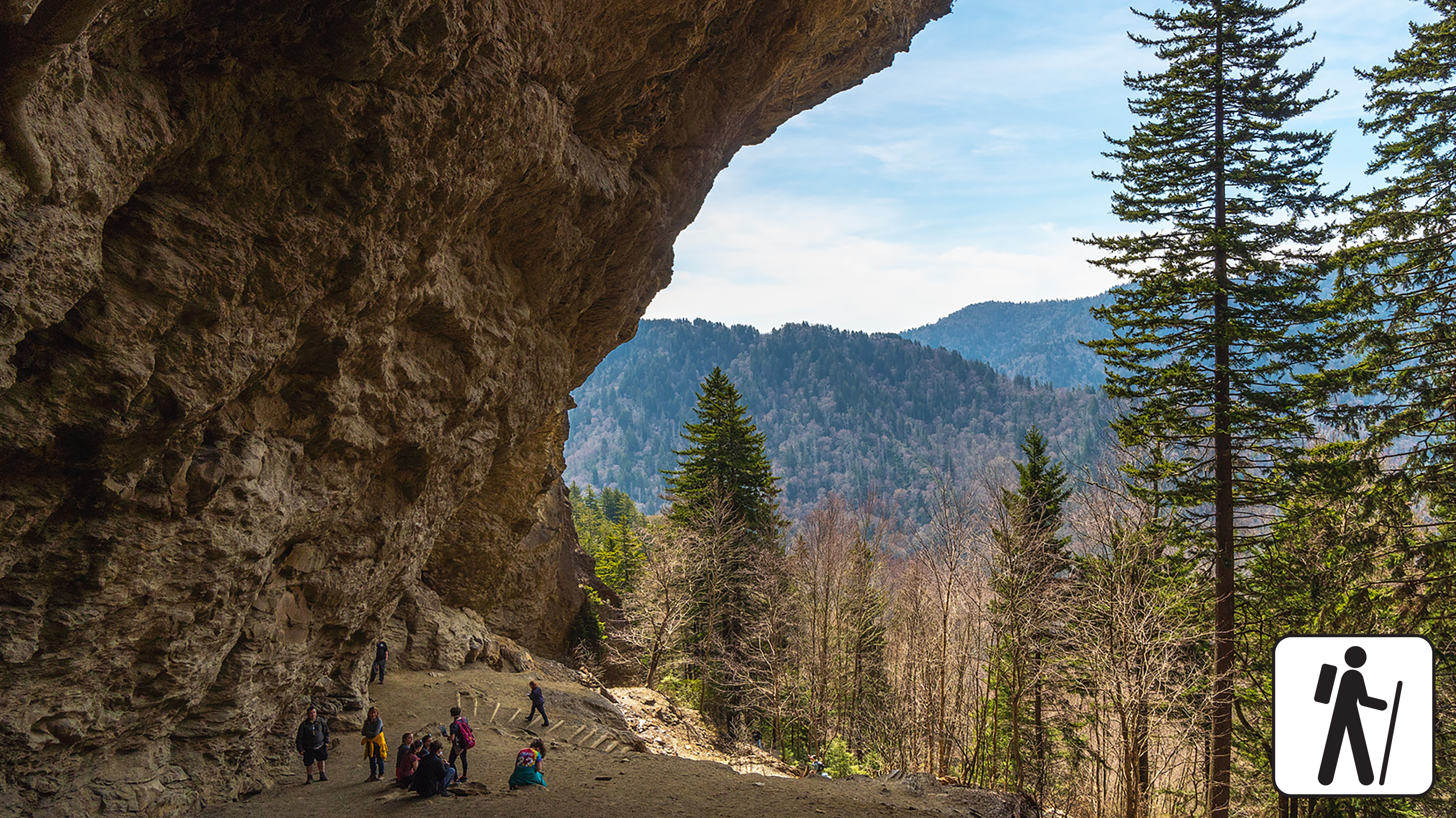
Start here, and start early. The Alum Cave trailhead on Newfound Gap Road is the park's most popular launch point, and the lot fills up as the morning warms. The trail follows Alum Cave Creek through old-growth forest, threads the stone stairs of Arch Rock, and climbs to Inspiration Point before reaching the bluffs at roughly 2.3 miles. The bluffs are not a cave at all but an 80-foot cliff that curls inward, sheltering a dry, dusty floor that was once mined for minerals.
The NPS notes the trail gets considerably steeper past Arch Rock; if the kids or knees are complaining, turning around at Arch Rock (2.8 miles round trip) is a fine outcome. Published elevation-gain figures for this hike vary by source (roughly 1,000 to 1,150 feet); expect a steady, stair-heavy climb rather than anything technical. Carry layers, because the exposed upper section is windier and colder than the parking lot.
- Distance
- 4.6 mi
- Elevation gain
- 1,100 ft
- Route
- Out and back
- Difficulty
- Moderate
- Permit required
- No
- Dogs allowed
- No
- Trailhead
- Alum Cave Trailhead, Newfound Gap Road (US 441)
- Fee note
- Parking tag required for stops over 15 minutes
- Elevation gain note
- Published gains vary by source (roughly 1,000-1,150 ft); approximated from trailhead ~3,834 ft to bluffs ~4,950 ft (Wikipedia)
Sources (4)
- Wikipedia - Alum Cave Trail (elevations) · retrieved 2026-09-28
- smokymountains.com - Alum Cave Trail guide · retrieved 2026-09-28
- NPS GRSM - Parking tags and fees · retrieved 2026-09-28
- NPS - Hike to Alum Cave Bluffs · retrieved 2026-09-28
Newfound Gap Overlook
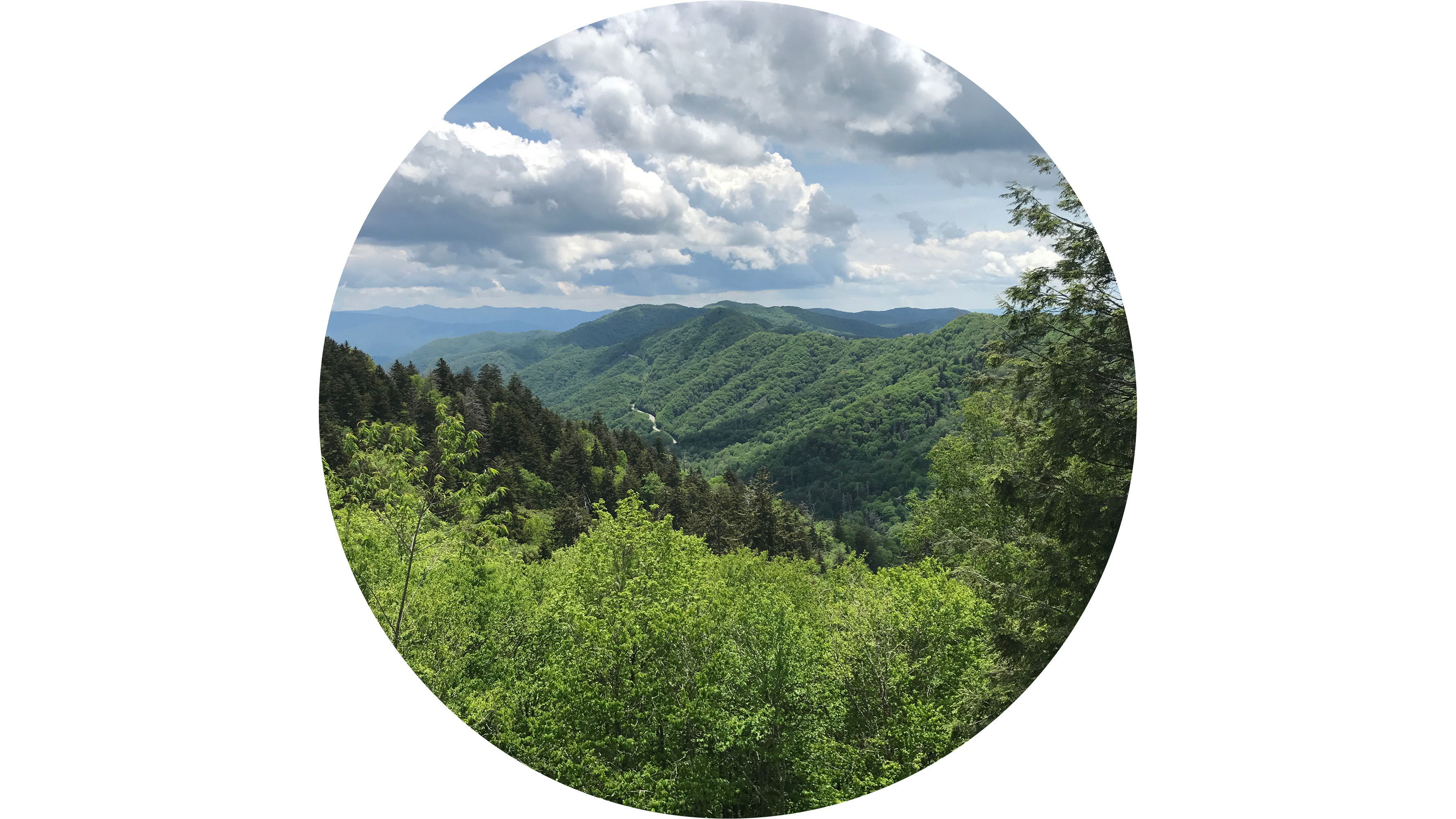
Newfound Gap is the high pass where Newfound Gap Road meets the Appalachian Trail on its way between Tennessee and North Carolina. Pull in for the sweeping ridge-on-ridge views; the Appalachian Trail crosses here, and the NPS lists the nearby Laura Spelman Rockefeller Memorial as a stop. It is also the launch point for the Appalachian Trail hike to Charlies Bunion, a strenuous 8-mile alternative if you have another day. Parking here fills up, so treat it as a stop rather than a destination.
- Time
- 30 minutes
- Best time
- Midday for clear long views; return at sunset on Day 4
- Fee
- Free
Sources (2)
- NPS GRSM - Seasonal Road Schedule (updated Apr 20, 2026) · retrieved 2026-09-28
- NPS - Newfound Gap Overlook · retrieved 2026-09-28
Kuwohi Observation Tower (formerly Clingmans Dome)
Kuwohi, the Cherokee name meaning Mulberry Place that was restored to the park's highest peak, tops out at 6,643 feet. From Newfound Gap it is about a 7-mile drive up Kuwohi Road according to Visit Cherokee (allow a good 30 minutes with traffic), then a one-mile round trip on a paved but steep ramp to a concrete observation tower. Blogs describe about 330-360 feet of climbing, and the pavement is the only easy thing about it; take the benches as needed at that altitude.
On a clear day the view stretches for many miles across the ridgelines. The summit is often cooler than Gatlinburg by 10-20 degrees, and the NPS warns of extreme crowding and parking pressure here, so arrive on a weekday if you can. If the lot is jammed, the NPS points to the Forney Ridge bypass trail as a quieter route toward the tower, or to the 3.6-mile round trip to Andrews Bald, a grassy mountaintop meadow famous for summer azaleas.
- Distance
- 1 mi
- Elevation gain
- 330 ft
- Route
- Out and back
- Difficulty
- Moderate
- Permit required
- No
- Dogs allowed
- No
- Trailhead
- Kuwohi parking area at end of Kuwohi Road
- Elevation gain note
- Sources vary 330-360 ft
Sources (4)
- Visit Cherokee NC - Kuwohi hiking guide · retrieved 2026-09-28
- NPS GRSM park page (elevation, weather note) · retrieved 2026-09-28
- NPS GRSM - Seasonal Road Schedule (updated Apr 20, 2026) · retrieved 2026-09-28
- NPS - Hike to Kuwohi · retrieved 2026-09-28
Dinner at The Peddler Steakhouse
Finish the long Day 1 with a riverside steak dinner on the Little Pigeon River. The Peddler is a Gatlinburg institution built around custom-cut steaks and a big salad bar, with grilled seafood for anyone who wants to stay off the red meat. Its website recommends booking ahead through Resy, which is smart after a full day in the park.
- Meal
- Dinner
- Cuisine
- Steakhouse
- Price
- $$$
- Reservation needed
- Yes
- Price note
- Website describes 'upscale casual'; no menu prices verified
Sources (1)
- The Peddler Steakhouse - official site · retrieved 2026-09-28
Buckhorn Inn (recommended base)
A country inn that has been taking guests since 1938, set in Gatlinburg with mountain views across meadows and wildflowers and, according to the inn, less than a mile from the national park boundary. Choose between traditional and premier rooms, private cottages and guesthouses; the inn serves breakfast and an evening meal on site. It is the calm, quiet counterpoint to the neon of the Gatlinburg Parkway, though it is a real drive from the trailheads on Days 3 and 4, so build in the early starts noted below. The inn's website does not publish nightly rates; contact the inn for pricing.
- Type
- Hotel
- Location
- Outside the park
- Booking
- Book / details
- Reservation notes
- No rates are published on the inn's website; call 865-436-4668 or 866-941-0460 for pricing and availability
Sources (1)
- Buckhorn Inn - official site · retrieved 2026-09-28
Waterfalls Out of Cherokee Orchard
A waterfall day built around a single road. Fuel up on pancakes, climb to Rainbow Falls in the cool of the morning, then drive the Roaring Fork Motor Nature Trail and walk behind Grotto Falls in the afternoon. Both trailheads sit at the same end of Gatlinburg, so there is no backtracking.
Breakfast at the Pancake Pantry
Tennessee's first dedicated pancake restaurant has been flipping since 1960 and opens at 7 a.m., which makes it a natural fuel stop before a hike that starts on Cherokee Orchard Road. Breakfast is served all day, with lunch service starting at 11:30. Expect a line on weekends; go right at opening or order takeout if you want to hit the trailhead first.
- Meal
- Breakfast
- Cuisine
- American breakfast / pancakes
- Price
- $$
- Reservation needed
- No
- Price note
- Prices not listed on official site; tier is an estimate
Sources (1)
- Pancake Pantry - official site · retrieved 2026-09-28
Rainbow Falls Trail
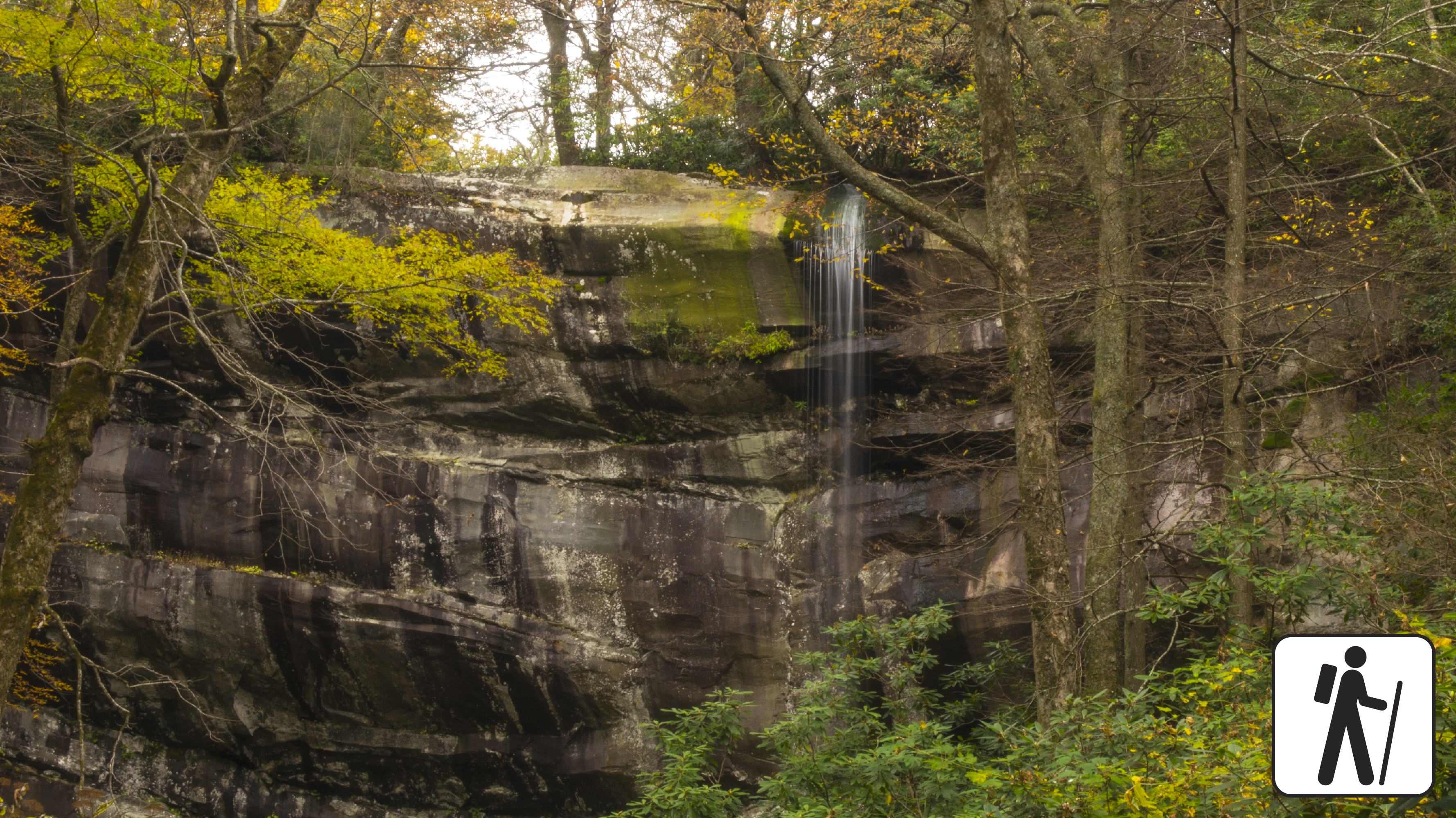
From the Rainbow Falls trailhead on Cherokee Orchard Road, this is a workmanlike climb: about 1,500 feet of ascent over 5.6 miles round trip, following LeConte Creek across bridges before arriving at a roughly 80-foot single-drop waterfall. The falls take their name from the rainbow that can appear in the mist on sunny afternoons, but sunlight isn't guaranteed, so treat any rainbow as a bonus. The NPS describes the trail as very steep and rocky, and warns of extreme crowding and limited parking, so arrive early and consider a shuttle. It is the same trail used by many hikers heading up to LeConte Lodge. Note that the trail is also icy in winter.
- Distance
- 5.6 mi
- Elevation gain
- 1,500 ft
- Route
- Out and back
- Difficulty
- Strenuous
- Permit required
- No
- Dogs allowed
- No
- Trailhead
- Rainbow Falls Trailhead (upper or lower lot), Cherokee Orchard Road
Sources (3)
- smokymountains.com - Rainbow Falls Trail guide · retrieved 2026-09-28
- NPS GRSM - Parking tags and fees · retrieved 2026-09-28
- NPS - Hike to Rainbow Falls · retrieved 2026-09-28
Roaring Fork Motor Nature Trail
The loop begins just past the Rainbow Falls lot (the map point for this stop), follow the one-way sign onto this narrow, 5.5-mile loop through old-growth forest, past mountain streams and preserved log cabins and gristmills. No buses, motorhomes or trailers are allowed, and the road is only open in the warmer months (2026 schedule: 4/17-11/29). Along the way, the Place of a Thousand Drips becomes a waterfall of many small cascades during heavy rain, and the Trillium Gap trailhead for Grotto Falls comes about two miles in. Take it slowly; this is a road for pull-offs, not for hurrying.
- Time
- About 45 minutes to the Trillium Gap trailhead about 2 miles in, plus time to finish the loop after your hike (estimate)
- Best time
- Mid-afternoon after morning crowds thin
- Fee
- Free
- Reservation needed
- No
Sources (2)
- NPS - Roaring Fork Motor Nature Trail · retrieved 2026-09-28
- NPS GRSM - Seasonal Road Schedule (updated Apr 20, 2026) · retrieved 2026-09-28
Grotto Falls via Trillium Gap Trail
This is the payoff hike of the Roaring Fork loop: an easy 2.6-mile round trip through hemlock and rhododendron, crossing a few streams before you walk behind a waterfall roughly 25 to 30 feet tall at Grotto Falls. Because the trail is one of the busiest in the park and rain makes the rocks slick, the NPS recommends a shuttle or an alternative if the lot is full. Bonus for llama fans: LeConte Lodge sends its supply llamas up this trail three days a week.
- Distance
- 2.6 mi
- Elevation gain
- 585 ft
- Route
- Out and back
- Difficulty
- Easy
- Permit required
- No
- Dogs allowed
- No
- Trailhead
- Trillium Gap Trailhead on Roaring Fork Motor Nature Trail
- Elevation gain note
- smokymountains.com lists 585 ft for the 2.6-mi round trip; Wikipedia says the first 1.5 mi rise only ~500 ft. NPS gives no gain. Distance: NPS headline says 2.6 mi RT (falls ~1.3 mi one way); another paragraph on the NPS page says 4 mi, treated as an NPS inconsistency.
Sources (4)
- Wikipedia - Trillium Gap Trail (falls at 1.3 mi, ~500 ft) · retrieved 2026-09-28
- smokymountains.com - Grotto Falls Trail (2.6 mi, 585 ft) · retrieved 2026-09-28
- LeConte Lodge - hiking trails (llamas, Trillium Gap) · retrieved 2026-09-28
- NPS - Hike to Grotto Falls · retrieved 2026-09-28
Dinner at Smoky Mountain Brewery (Gatlinburg)
A relaxed brewpub whose deck overlooks Calhoun's Village, near the park entrance, serving handcrafted beer plus pizzas and burgers. It is loud, casual and forgiving of trail-dusty hikers. The Gatlinburg location lists 3 hours of complimentary parking, and the kitchen runs late if you get back after a long day.
- Meal
- Dinner
- Cuisine
- Brewpub - pizza and burgers
- Price
- $$
- Reservation needed
- No
- Price note
- Menu prices not verified; tier is an estimate
Sources (1)
- Smoky Mountain Brewery Gatlinburg - official site · retrieved 2026-09-28
Cades Cove at Sunrise
Leave Gatlinburg before dawn and follow Little River Road west into Cades Cove. Hike to Abrams Falls while the lot is empty, then take your time on the valley's 11-mile loop, when wildlife is most active. Finish with dinner in Townsend before the return drive.
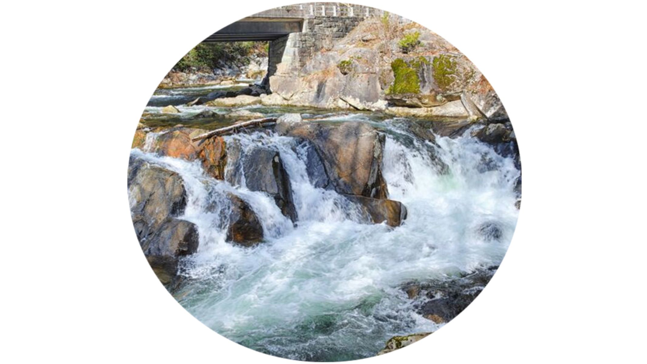
The Sinks
A roadside stop along Little River Road where the river plunges over a drop into a churning pool. It is a quick pull-off on the way to Cades Cove, worth 15 minutes if you leave Gatlinburg early. Shift the whole Day 3 timeline with the season's sunrise and check current sunrise time. Watch for slick rocks and keep clear of the water. Times on Day 3 assume an early start; shift them with the season's sunrise (later in fall and winter, earlier in summer).
- Time
- 15-20 minutes
- Best time
- Early morning
- Fee
- Free
Sources (1)
- NPS - The Sinks (place listing via NPS API) · retrieved 2026-09-28
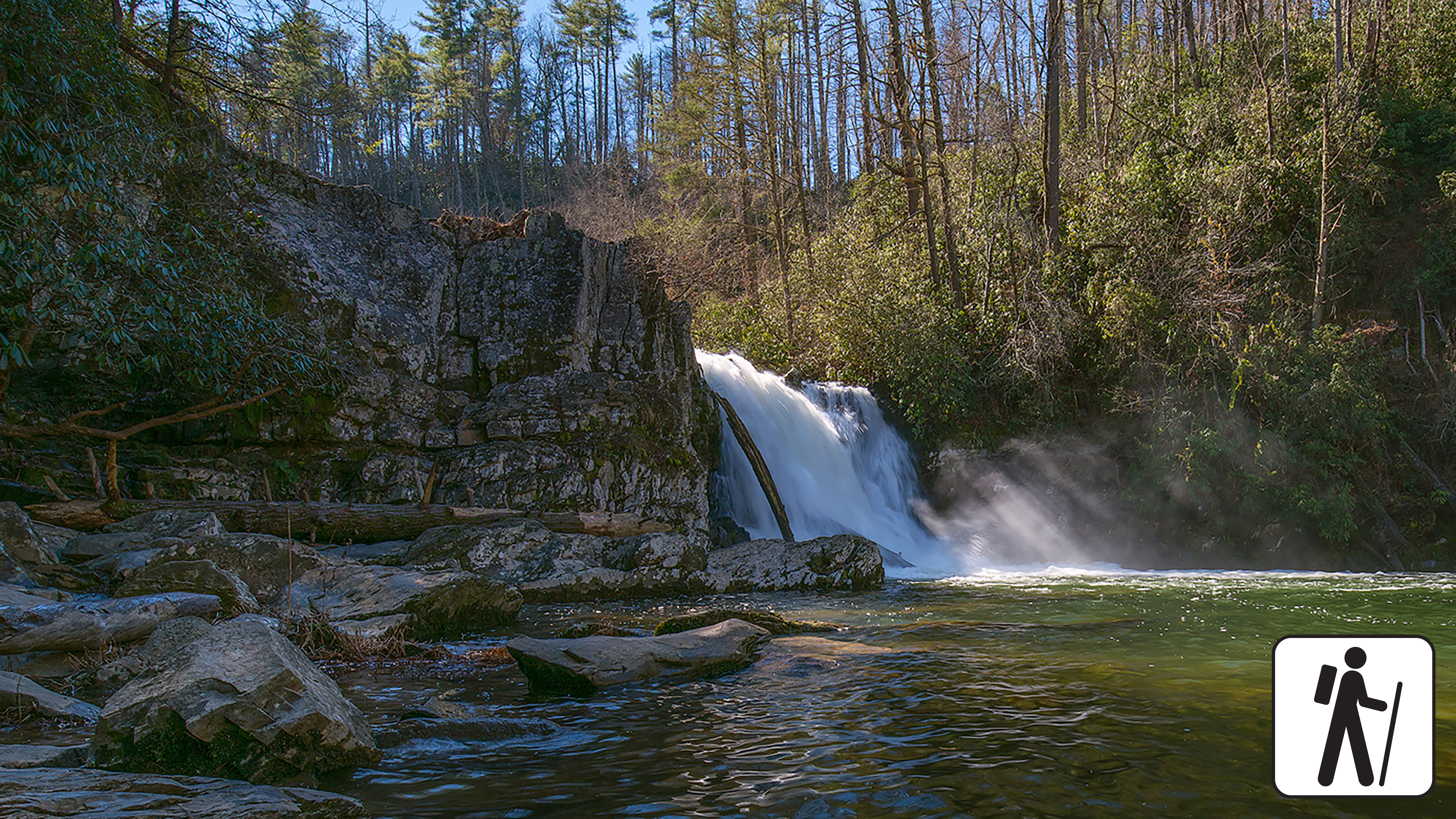
Abrams Falls Trail
Enter Cades Cove at sunrise, drive about halfway around the one-way loop and park at the Abrams Falls trailhead (between loop signposts 10 and 11). The 5-mile round trip follows Abrams Creek through rhododendron, hemlock and pine-oak forest to a 25-foot waterfall pouring into a deep pool, and the trail is also known for spring wildflowers. Do not swim. The NPS strongly discourages it because of slippery rocks and a deadly undertow. The lot fills by mid-morning, another reason to hike first and tour the loop second.
Trail status can change (bridge and footlog work has limited access in the past), so check NPS alerts before you go.
- Distance
- 5 mi
- Elevation gain
- 675 ft
- Route
- Out and back
- Difficulty
- Moderate
- Permit required
- No
- Dogs allowed
- No
- Trailhead
- Abrams Falls Trailhead, between Cades Cove loop road signposts 10 and 11
- Elevation gain note
- Sources disagree: 675 ft (smokymountains.com stats box; ~340 ft in its prose), 500 ft (dwhike.com), ~200 ft (Wikipedia). NPS gives none. 675 is the upper end of the range.
Sources (3)
- Wikipedia - Abrams Falls Trail · retrieved 2026-09-28
- smokymountains.com - Abrams Falls Trail (675 ft) · retrieved 2026-09-28
- NPS - Hike to Abrams Falls · retrieved 2026-09-28
Cades Cove Loop Road
The 11-mile, one-way loop circles a broad mountain valley of meadows, restored log cabins, three 1800s churches and a working gristmill. The NPS says plan on at least two to four hours, and the road is open sunrise to sunset. Early morning and late afternoon are best for deer and other wildlife, and if you cannot cover an animal with your thumb at arm's length you are too close. The loop is closed to vehicles every Wednesday from May through September (2026: May 6 to Sept 30), so schedule this day for a different weekday in summer.
Traffic can crawl, particularly on weekends and in October. Two two-way shortcuts, Hyatt Lane and Sparks Lane, can cut the loop short, and there is no cell service in the valley.
- Time
- 2-4 hours (NPS)
- Best time
- Sunrise or late afternoon for wildlife
- Fee
- Free
- Reservation needed
- No
Sources (3)
- Experience Cades Cove - loop road guide (shortcuts) · retrieved 2026-09-28
- NPS - Cades Cove · retrieved 2026-09-28
- NPS - Seasonal Road Schedule · retrieved 2026-09-28
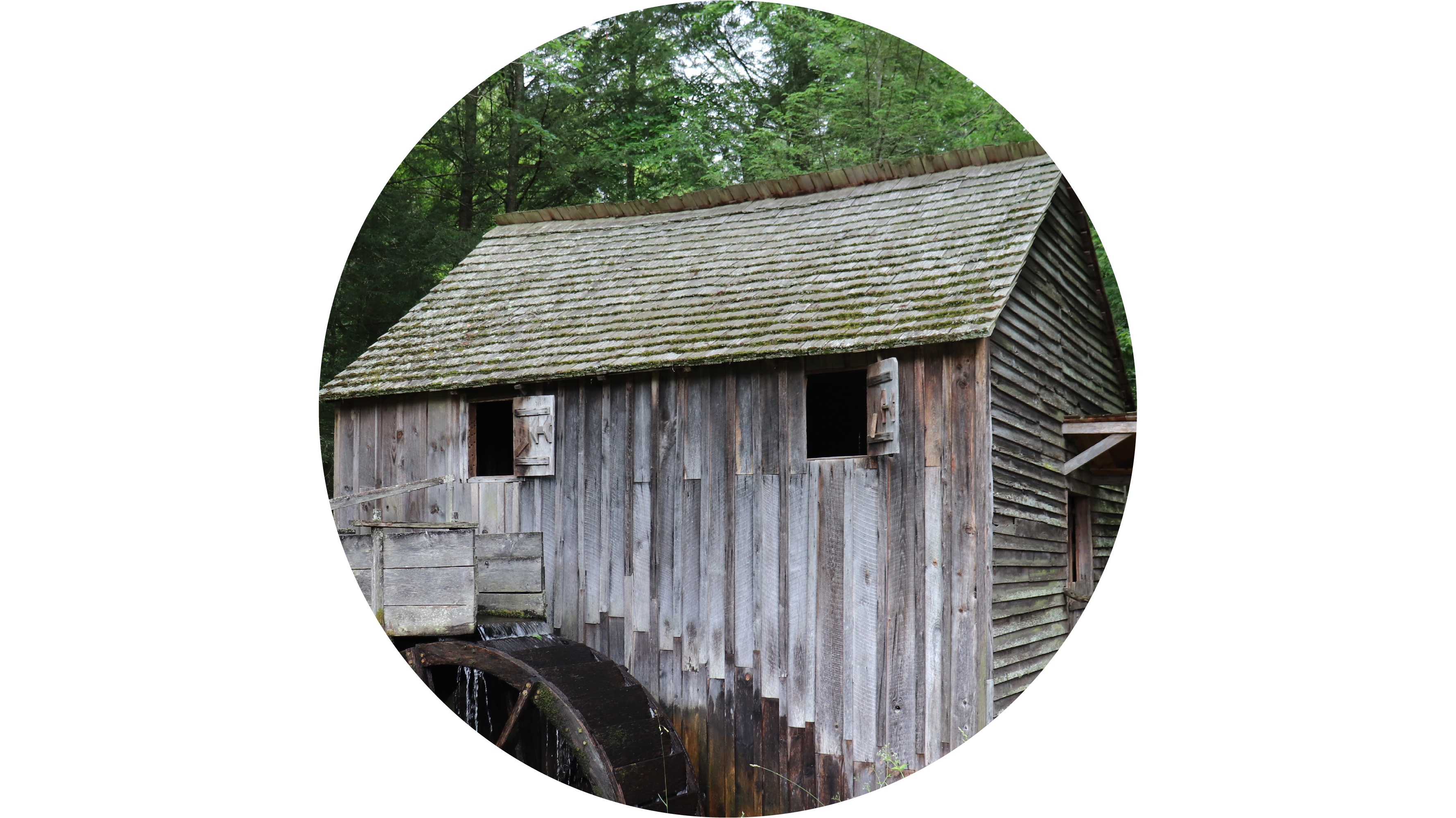
Cable Mill Historic Area
Next to the Cades Cove Visitor Center, Cable Mill is a cluster of preserved farm buildings anchored by a working gristmill, and it makes a natural picnic-and-stretch stop. The NPS lists the mill as open daily 3/15 to 11/29 in 2026, 9 a.m. to 5 p.m. There is also a Cades Cove Visitor Center on Cable Mill Road; hours vary seasonally. Bring a packed lunch and use the Cades Cove Picnic Area on the loop if you prefer a table.
- Time
- 45-60 minutes
- Best time
- Mid-day
- Fee
- Free
Sources (2)
- NPS - Fees and Cades Cove Visitor Center address (686 Cades Cove Loop Road) · retrieved 2026-09-28
- NPS - Visitor Centers (Cable Mill hours) · retrieved 2026-09-28
Dinner at Peaceful Side Social (Townsend)
Townsend calls itself the peaceful side of the Smokies, and this craft kitchen and beer garden fits: pizzas, salads and shareables, truffle fries and wings, house craft beer and ice cream from the on-site creamery, with outdoor mountain views and a playscape for kids. It is a low-key place to refuel after Cades Cove before the return drive. It's open until 8 or 9 p.m. depending on the day.
- Meal
- Dinner
- Cuisine
- Craft kitchen - pizza, salads, shareables
- Price
- $$
- Reservation needed
- No
- Price note
- Menu prices not verified; tier is an estimate
Sources (2)
- Peaceful Side Social - official site · retrieved 2026-09-28
- Peaceful Side Social - contact page (phone, hours) · retrieved 2026-09-28
North Carolina Side: Elk, Farm and Falls
Cross the crest to the quieter North Carolina side. Meet the Oconaluftee elk, walk the flat river trail, have lunch in Bryson City, and hike the Deep Creek waterfall loop. Return over Newfound Gap for a last look at the ridgelines.
Newfound Gap Road (US 441) to the North Carolina side
The 35-mile road between Gatlinburg and Cherokee is the only paved route through the middle of the park, climbing from valley hardwoods to spruce-fir forest at the crest. Take it slowly, stopping at overlooks as they appear. Newfound Gap Road stays open year-round, but ice and downed trees can close the high-elevation stretch temporarily, so check NPS road status if it's cold.
- Time
- About 1-1.5 hours without long stops (estimate)
- Best time
- Morning, before crowds
- Fee
- Free
- Reservation needed
- No
Sources (2)
- NPS GRSM - Seasonal Road Schedule (updated Apr 20, 2026) · retrieved 2026-09-28
- NPS - Visitor Centers (Sugarlands Visitor Center location) · retrieved 2026-09-28
Oconaluftee River Trail and Mountain Farm Museum
Start at the Oconaluftee Visitor Center, the southern gateway of the park. A short walk brings you to the Mountain Farm Museum, a collection of log buildings from a late-1800s mountain farm, then to the Oconaluftee River Trail, a flat, wide gravel path of about 3 miles round trip that follows the river to the park boundary at the edge of Cherokee. It is one of the only trails in the park where dogs on a leash and bicycles are allowed. This valley is home to one of the park's two main elk herds, and the NPS asks visitors to keep at least 50 yards from elk and all wildlife.
- Distance
- 3 mi
- Elevation gain
- 49 ft
- Route
- Out and back
- Difficulty
- Easy
- Permit required
- No
- Dogs allowed
- Yes
- Trailhead
- Oconaluftee Visitor Center / Mountain Farm Museum
- Dogs note
- Leashed dogs and bikes allowed on this trail
- Elevation gain note
- AllTrails lists ~49 ft (other sources under 50 ft); NPS describes the trail as relatively flat.
Sources (3)
- AllTrails - Oconaluftee River Trail (~49 ft gain) · retrieved 2026-09-28
- NPS - Oconaluftee Area · retrieved 2026-09-28
- NPS - Hike the Oconaluftee River Trail · retrieved 2026-09-28
Lunch at Everett Street Diner (Bryson City)
A family-run diner that serves breakfast and lunch, known for its biscuits and gravy, pancakes and egg dishes at breakfast, with burgers, sandwiches, soups and fish at lunch (a Wednesday special of shrimp with grits and greens). It sits in downtown Bryson City, on the way to Deep Creek. Per the diner's hours page, lunch is served Monday and Wednesday-Friday 11-2 and Saturday 11:30-2; it is closed Tuesdays, and on Sundays it serves breakfast only (closes 11:30). Plan Day 4 for a Monday or Wednesday-Saturday so the noon lunch works.
- Meal
- Lunch
- Cuisine
- American diner
- Price
- $
- Reservation needed
- No
- Price note
- Website says 'reasonably priced'; no menu prices verified
- Reservation notes
- Closed Tuesdays; no lunch on Sundays. Confirm hours on the diner's website before you go.
Sources (1)
- Everett Street Diner - official site · retrieved 2026-09-28
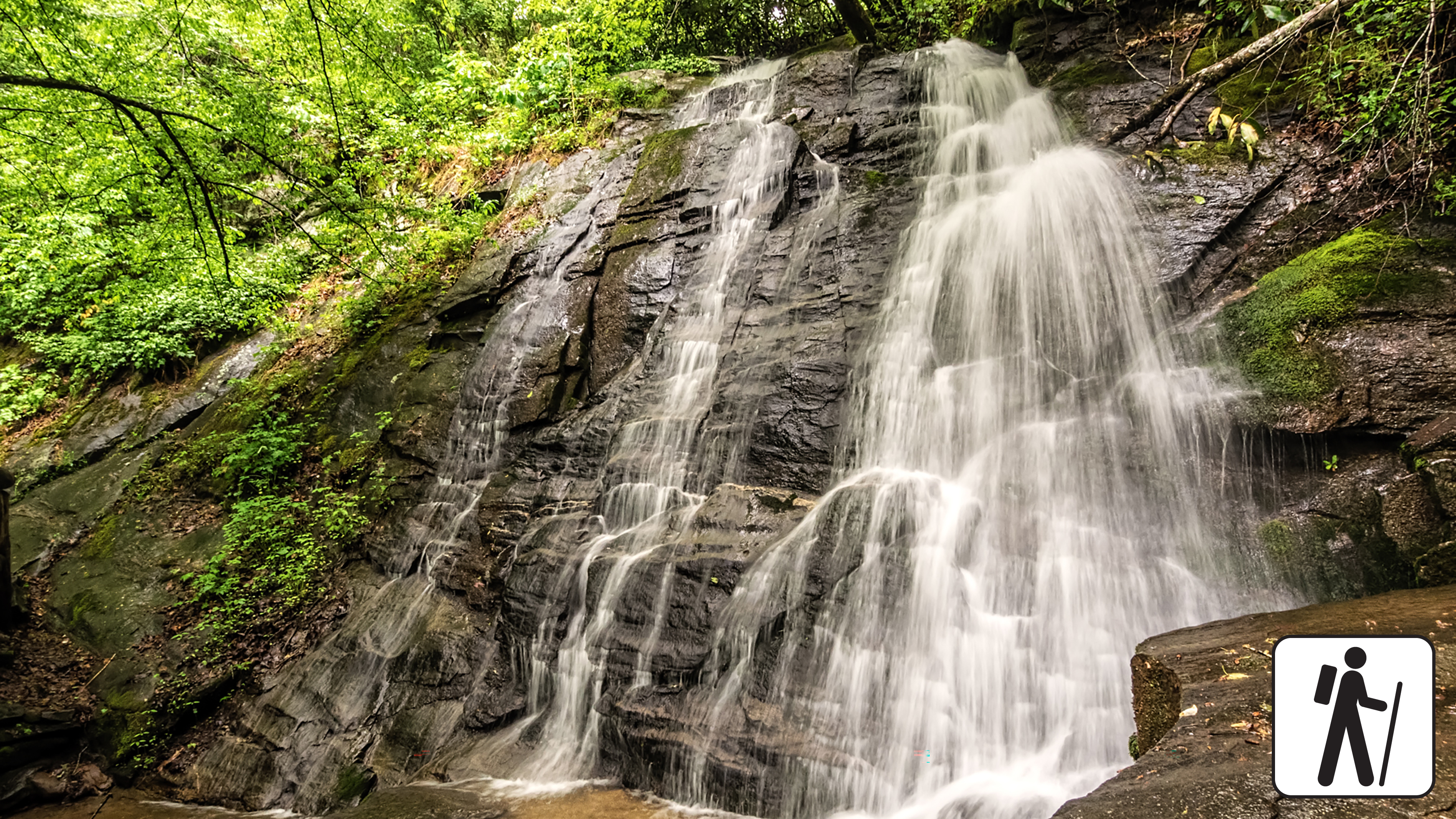
Deep Creek Waterfalls Loop
Just north of Bryson City, the Deep Creek area packs three waterfalls into a 2.4-mile loop: Juney Whank Falls, Tom Branch Falls and Indian Creek Falls. The only steep part is the short climb to Juney Whank Falls near the start (about 0.25 miles with roughly 194 feet of gain, per one local source; loop-wide gain figures run from roughly 420 to 580 feet); the rest follows a wide, mostly flat gravel path. It is a friendly, low-stress way to end a big trip, and a nice contrast to the crowded Tennessee side. Restrooms at Deep Creek Campground are available seasonally.
- Distance
- 2.4 mi
- Elevation gain
- 450 ft
- Route
- Loop
- Difficulty
- Easy
- Permit required
- No
- Dogs allowed
- No
- Trailhead
- Deep Creek Trailhead, end of Deep Creek Road
- Elevation gain note
- Sources range 419-580 ft (AllTrails 419, other guides 450 and 580). NPS gives none for the loop (its Indian Creek Falls out-and-back, 1.6 mi, lists 160 ft). The steep part is the short climb to Juney Whank Falls.
Sources (5)
- AllTrails - Deep Creek Waterfall Loop · retrieved 2026-09-28
- Swain County Tourism - Deep Creek waterfalls · retrieved 2026-09-28
- NPS - Deep Creek Trail to Indian Creek Falls (160 ft, 1.6 mi) · retrieved 2026-09-28
- NPS - Hike the Deep Creek Waterfalls Loop · retrieved 2026-09-28
- The Outbound - Three Waterfalls Loop · retrieved 2026-09-28
Sunset at Newfound Gap
Drive back over the crest and time your arrival at Newfound Gap for the last hour of light. The overlook faces long ridgelines that fade blue into the evening, and it feels like an ending. Bring a jacket: the gap is far cooler than Gatlinburg. There is no fixed clock time for this stop because sunset shifts through the year; check sunset for your dates and leave Deep Creek with plenty of margin (Newfound Gap Road is slow on the way up).
- Time
- 30-45 minutes
- Best time
- About 45 minutes before sunset; sunset time shifts with the season, so check it for your dates
- Fee
- Free
Sources (2)
- NPS GRSM - Seasonal Road Schedule (updated Apr 20, 2026) · retrieved 2026-09-28
- NPS - Newfound Gap Overlook · retrieved 2026-09-28
Where to stay
Elkmont Campground
The closest family campground to Sugarlands Visitor Center, at 2,150 feet with flush toilets and drinking water (no hookups or showers). Sites are $30 per night and must be reserved through Recreation.gov up to six months ahead. According to NPS data, the 2026 season ends with a closure from Nov 29, 2026 to Apr 3, 2027. Elkmont is also the place to explore the historic 'Old Town of Elkmont' ghost town.
- Type
- Campground
- Location
- Inside the park
- Price per night
- From $30 (as of 2026-09-28)
- Booking
- Book / details
- Reservation notes
- Reservations required; up to 6 months in advance. No hookups or showers.
Sources (2)
- NPS - Elkmont Campground · retrieved 2026-09-28
- Recreation.gov - Elkmont Campground · retrieved 2026-09-28
Smokemont Campground
Open year-round (loops A and B), Smokemont is the closest family campground to Oconaluftee Visitor Center on the North Carolina side, at 2,198 feet with flush toilets and drinking water but no hookups or showers. Sites are $30 per night, bookable via Recreation.gov up to six months ahead. A good pick if you want to stay on the NC side for Day 4.
- Type
- Campground
- Location
- Inside the park
- Price per night
- From $30 (as of 2026-09-28)
- Booking
- Book / details
- Reservation notes
- Reservations required; up to 6 months in advance
Sources (2)
- NPS - Smokemont Campground · retrieved 2026-09-28
- Recreation.gov - Smokemont Campground · retrieved 2026-09-28
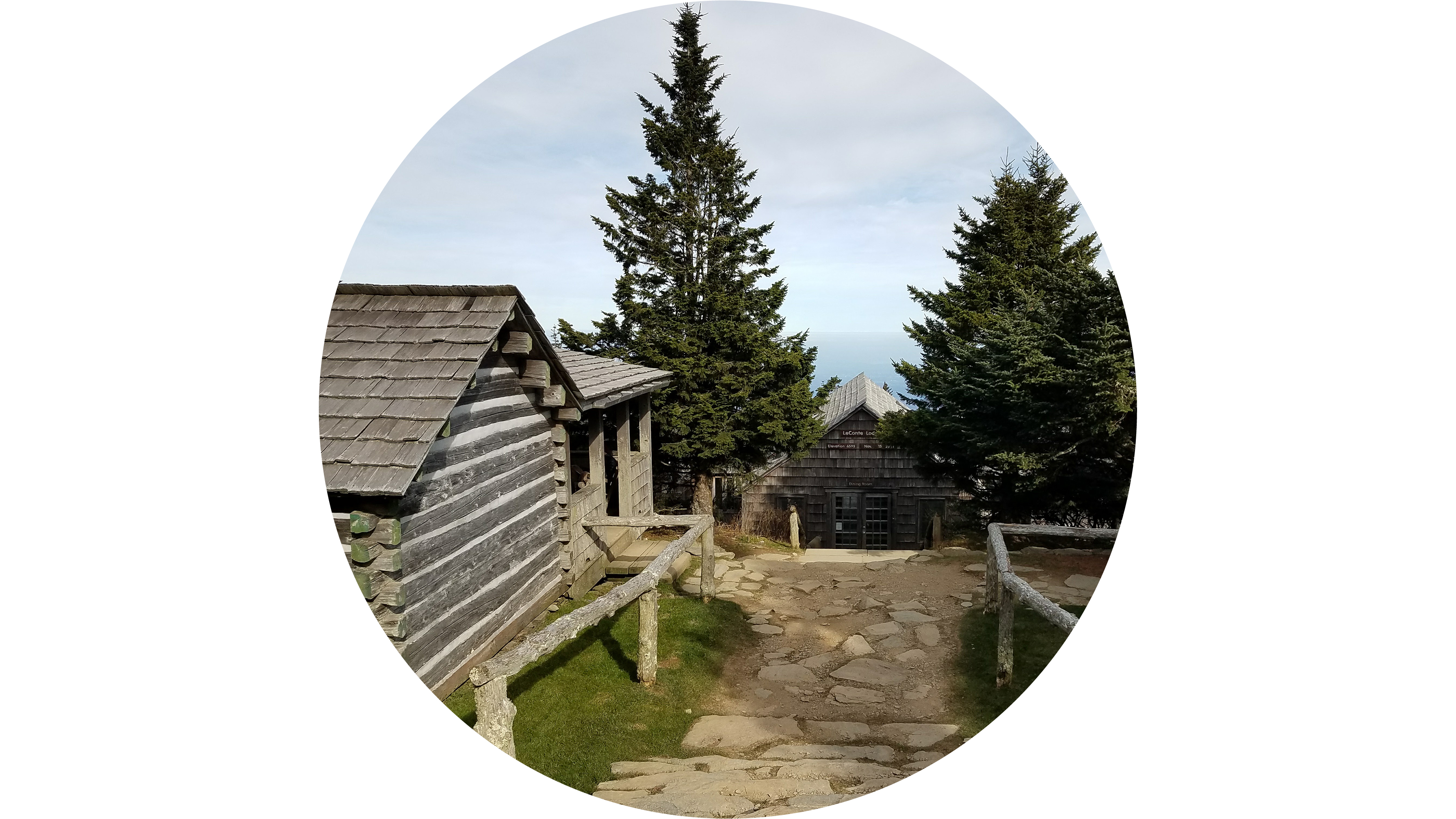
LeConte Lodge (hike-in splurge)
The highest guest lodge in the eastern United States is reachable only on foot: five trails of 5.0 to 9.1 miles lead to hand-built log cabins and lodges with propane heat and kerosene lanterns, with dinner and breakfast served family style. For the 2027 season (March 19 to November 21, 2027) the published rate is $204 per adult and $111 per child aged 4 to 12, meals included, before 9.75% Tennessee sales tax.
Booking is a scramble: phone reservations for the following season typically open around October 1 at 8:00 a.m. Eastern (with a written-request window in the weeks before), and the lodge keeps a waitlist for cancellations. Confirm current dates on the reservations page. Use the Alum Cave route from Day 1 (5.0 miles, 2,700 feet up and 100 down, per the lodge) or the gentler Trillium Gap route via Grotto Falls (6.7 miles, 3,300 feet up). Trailhead parking requires a parking tag and is limited; the lodge lists shuttle and overnight-parking options on its site.
- Type
- Lodge
- Location
- Inside the park
- Price per night
- From $204 (as of 2026-09-28)
- Booking
- Book / details
- Reservation notes
- 2027 season rate per adult, meals included (child $111), plus 9.75% TN sales tax. Reservations office: 250 Apple Valley Road, Sevierville, TN 37862, (865) 429-5704, reservations@lecontelodge.com. Phone booking for a season typically opens around Oct 1 at 8:00 am Eastern; check the reservations page for current dates.
Sources (4)
- LeConte Lodge - official site · retrieved 2026-09-28
- LeConte Lodge - hiking trails · retrieved 2026-09-28
- LeConte Lodge - 2027 reservations · retrieved 2026-09-28
- LeConte Lodge - 2027 Rate Schedule · retrieved 2026-09-28
Map of places
- Alum Cave Trailhead (opens Google Maps in a new tab) Day 1
- Newfound Gap Overlook (opens Google Maps in a new tab) Day 1
- Kuwohi Observation Tower (opens Google Maps in a new tab) Day 1
- The Peddler Steakhouse (opens Google Maps in a new tab) Day 1
- Buckhorn Inn (opens Google Maps in a new tab) Day 1
- Pancake Pantry (opens Google Maps in a new tab) Day 2
- Rainbow Falls Trailhead (opens Google Maps in a new tab) Day 2
- Roaring Fork Motor Nature Trail (entrance near Rainbow Falls trailhead) (opens Google Maps in a new tab) Day 2
- Trillium Gap Trailhead (Grotto Falls) (opens Google Maps in a new tab) Day 2
- Smoky Mountain Brewery (Gatlinburg) (opens Google Maps in a new tab) Day 2
- The Sinks (opens Google Maps in a new tab) Day 3
- Abrams Falls Trailhead (opens Google Maps in a new tab) Day 3
- Cades Cove Loop Road (loop start near Cades Cove Picnic Area) (opens Google Maps in a new tab) Day 3
- Cable Mill Historic Area (opens Google Maps in a new tab) Day 3
- Peaceful Side Social (opens Google Maps in a new tab) Day 3
- Sugarlands Visitor Center (northern start of Newfound Gap Road) (opens Google Maps in a new tab) Day 4
- Oconaluftee Visitor Center (opens Google Maps in a new tab) Day 4
- Everett Street Diner (opens Google Maps in a new tab) Day 4
- Deep Creek Trailhead (opens Google Maps in a new tab) Day 4
- Newfound Gap Overlook (opens Google Maps in a new tab) Day 4
- Elkmont Campground (opens Google Maps in a new tab) Option
- Smokemont Campground (opens Google Maps in a new tab) Option
- LeConte Lodge (opens Google Maps in a new tab) Option
Good to know
Parking and fees
- No entrance fee. A parking tag is required to park longer than 15 minutes: $5 daily, $15 weekly, $40 annual (NPS, retrieved 2026-09-28). Buy at visitor centers, tag machines (credit card only), or Recreation.gov (daily and weekly). Tags are not sold at Roaring Fork.
- Tags are waived on certain free entrance days (for example Presidents Day, Memorial Day, July 3-5 in 2026).
Crowds
- Alum Cave, Rainbow Falls, Grotto Falls and Kuwohi all carry NPS "extreme crowding and limited parking" notes. Start by 7:30 a.m., go on weekdays, and consider a shuttle. NPS says most authorized shuttle services run March through October; contact them directly, since fares are not listed and park staff cannot book for you.
- October foliage and summer weekends are the busiest.
Closures and seasonality (check before you go)
- Kuwohi Road: 4/1-11/29 in 2026. Roaring Fork Motor Nature Trail: 4/17-11/29 in 2026. Newfound Gap Road is year-round but can close for ice. Dates change each year; see the NPS Seasonal Road Schedule.
- Cades Cove Loop Road is typically closed to vehicles on Wednesdays from May through September. Do not schedule Day 3 on a Wednesday in that window.
Dining note
- Everett Street Diner (Day 4 lunch) is closed Tuesdays and serves breakfast only on Sundays; schedule Day 4 for Monday or Wednesday-Saturday.
Lodging and reservations
- Campsites in park campgrounds must be reserved on Recreation.gov up to six months ahead.
- LeConte Lodge typically opens phone reservations for the next season around October 1 at 8:00 a.m. ET; it books out fast. Check lecontelodge.com for current dates.
Safety and wildlife
- Stay 50 yards from elk and other wildlife; use the thumb-test at Cades Cove.
- Do not swim at Abrams Falls (strong undertow). Do not climb the tops of waterfalls.
- Layers and rain gear: valley to summit temperatures can differ by 10-20 degrees F.
Getting there
- Gatlinburg is the base for Days 1-3. Newfound Gap Road (35 miles between Gatlinburg and Cherokee) is the only paved route across the park. Little River Road heads west to Cades Cove, roughly 20 miles from Gatlinburg per one guide, but allow longer for traffic.
- Drive-time estimates in this plan are approximate. Sunrise and sunset shift with the season, so adjust the early starts (Day 3) and the Day 4 sunset stop to your dates.
Current conditions (as of 2026-09-28; re-check NPS alerts before you go)
- Abrams Falls Trail: closed Monday-Thursday through Sept 30, 2026 for footlog bridge replacement; open Friday-Sunday.
- Laurel Falls Trail: closed for rehabilitation since Jan 6, 2025; no reopening date on the NPS page.
- Mingus Mill: temporarily closed for preservation work.
- Elkmont Campground: closed Nov 29, 2026-Apr 3, 2027 per NPS data.
- Cades Cove Loop Road: vehicle-free Wednesdays May 6-Sept 30, 2026.
- Gatlinburg Spur: single-lane roadwork closures Sept 21-30, 2026.
Want live alerts and up-to-date info?
Conditions change fast. Create an account on the DriftKin app to get live park alerts, closures and information for your trip.
Sources
- Wikipedia - Alum Cave Trail (elevations) retrieved 2026-09-28
- smokymountains.com - Alum Cave Trail guide retrieved 2026-09-28
- NPS - Fees and Cades Cove Visitor Center address (686 Cades Cove Loop Road) retrieved 2026-09-28
- NPS - Hike to Alum Cave Bluffs retrieved 2026-09-28
- NPS GRSM - Seasonal Road Schedule (updated Apr 20, 2026) retrieved 2026-09-28
- NPS - Newfound Gap Overlook retrieved 2026-09-28
- Visit Cherokee NC - Kuwohi hiking guide retrieved 2026-09-28
- NPS GRSM park page (elevation, weather note) retrieved 2026-09-28
- NPS - Hike to Kuwohi retrieved 2026-09-28
- The Peddler Steakhouse - official site retrieved 2026-09-28
- Buckhorn Inn - official site retrieved 2026-09-28
- Pancake Pantry - official site retrieved 2026-09-28
- smokymountains.com - Rainbow Falls Trail guide retrieved 2026-09-28
- NPS - Hike to Rainbow Falls retrieved 2026-09-28
- NPS - Roaring Fork Motor Nature Trail retrieved 2026-09-28
- Wikipedia - Trillium Gap Trail (falls at 1.3 mi, ~500 ft) retrieved 2026-09-28
- smokymountains.com - Grotto Falls Trail (2.6 mi, 585 ft) retrieved 2026-09-28
- LeConte Lodge - hiking trails retrieved 2026-09-28
- NPS - Hike to Grotto Falls retrieved 2026-09-28
- Smoky Mountain Brewery Gatlinburg - official site retrieved 2026-09-28
- NPS - The Sinks (place listing via NPS API) retrieved 2026-09-28
- Wikipedia - Abrams Falls Trail retrieved 2026-09-28
- smokymountains.com - Abrams Falls Trail (675 ft) retrieved 2026-09-28
- NPS - Hike to Abrams Falls retrieved 2026-09-28
- Experience Cades Cove - loop road guide (shortcuts) retrieved 2026-09-28
- NPS - Cades Cove retrieved 2026-09-28
- NPS - Visitor Centers (Sugarlands Visitor Center location) retrieved 2026-09-28
- Peaceful Side Social - official site retrieved 2026-09-28
- Peaceful Side Social - contact page (phone, hours) retrieved 2026-09-28
- AllTrails - Oconaluftee River Trail (~49 ft gain) retrieved 2026-09-28
- NPS - Oconaluftee Area retrieved 2026-09-28
- NPS - Hike the Oconaluftee River Trail retrieved 2026-09-28
- Everett Street Diner - official site retrieved 2026-09-28
- AllTrails - Deep Creek Waterfall Loop retrieved 2026-09-28
- Swain County Tourism - Deep Creek waterfalls retrieved 2026-09-28
- NPS - Deep Creek Trail to Indian Creek Falls (160 ft, 1.6 mi) retrieved 2026-09-28
- NPS - Hike the Deep Creek Waterfalls Loop retrieved 2026-09-28
- The Outbound - Three Waterfalls Loop retrieved 2026-09-28
- NPS - Elkmont Campground retrieved 2026-09-28
- Recreation.gov - Elkmont Campground retrieved 2026-09-28
- NPS - Smokemont Campground retrieved 2026-09-28
- Recreation.gov - Smokemont Campground retrieved 2026-09-28
- LeConte Lodge - official site retrieved 2026-09-28
- LeConte Lodge - 2027 reservations retrieved 2026-09-28
- LeConte Lodge - 2027 Rate Schedule retrieved 2026-09-28
Hours, fees, prices and closures change. Confirm details with the park or business before you go.